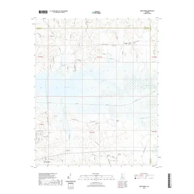
2020 Map of Gore Springs
USGS Topo · Published 2020About this map
Grenada Lake dominates the central landscape of this rural Mississippi survey, where the Yalobusha River flows through a complex of wetlands and tributaries. The settlement of Gore Springs anchors the southern portion of the map near the Gore Springs Cem, while the small community of Youngs is situated to the north. The terrain is marked by numerous family-named roads and country cemeteries, including Mount Nebo Cem, Shiloh Cem, and Jones Cem, which provide significant points of interest for genealogical research. The hydrology of the region is well-defined by creeks such as Butputter Creek, Cowpen Creek, and Yeager Cr. This modern topographic study reveals a landscape defined by its proximity to the lake and a network of county roads like Graysport Crossing Rd that connect these remote inland communities.
Find a feature on this map
78 named features on this map. Tap any name to fly to it.
Don’t see what you’re looking for? This feature index may not catch every label — zoom into the map to look around manually.
Map Details
Editions of this 2020 Gore Springs Map
This is the sole edition of this map. No revisions or reprints were ever made.
Other maps of this area

1953 · Walthall
USGS Topo · 1:62,500

1953 · West Point
USGS Topo · 1:250,000

1954 · Pittsboro
USGS Topo · 1:62,500

1954 · Duck Hill
USGS Topo · 1:62,500

1955 · Coffeeville
USGS Topo · 1:62,500

1958 · West Point
USGS Topo · 1:250,000

1963 · West Point
USGS Topo · 1:250,000
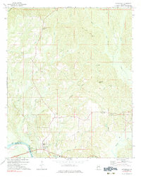
1971 · Coffeeville
USGS Topo · 1:24,000
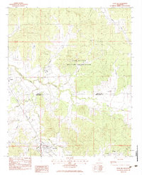
1983 · Duck Hill
USGS Topo · 1:24,000
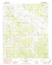
1983 · Cadaretta
USGS Topo · 1:24,000