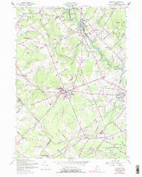
1957 Map of Gorham
USGS Topo · Published 1977About this map
The Presumpscot River serves as the primary industrial artery for this mid-century landscape, powering developments from Little Falls to South Windham. The town center of Gorham is a notable hub of education and activity, anchored by the State Teachers College and the nearby Gorham Raceway. While the Maine Central Railroad still defines the northern transport corridors, an old railroad grade further south signals a transition in the region's transportation network. This survey records a mix of institutional presence and small-scale agriculture, shown through features like the State Reformatory for Men and the Gorham Town Farm. Genealogists will find several burial grounds mapped, including Eastern Cemetery and the Whitney Sch Cemetery, alongside local landmarks like the Maine Forestry Service station and the Nursing Home near the Westbrook city boundary.
Find a feature on this map
101 named features on this map. Tap any name to fly to it.
Don’t see what you’re looking for? This feature index may not catch every label — zoom into the map to look around manually.
Map Details
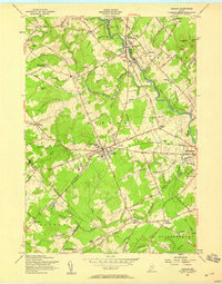
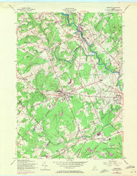
Editions of this 1957 Gorham Map
3 editions found
Other maps of this area

1891 · Portland
USGS Topo · 1:62,500

1891 · Buxton
USGS Topo · 1:62,500

1892 · Buxton
USGS Topo · 1:62,500

1893 · Portland
USGS Topo · 1:62,500

1893 · Buxton
USGS Topo · 1:62,500

1894 · Gray
USGS Topo · 1:62,500

1896 · Sebago
USGS Topo · 1:62,500

1898 · Gray
USGS Topo · 1:62,500

1914 · Portland
USGS Topo · 1:48,000

1916 · Portland
USGS Topo · 1:62,500