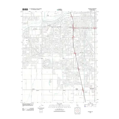
2012 Map of Gosford
USGS Topo · Published 2012About this map
California State University - Bakersfield serves as a prominent landmark on this 2012 survey, anchoring the northwest of an area defined by dense residential growth and complex water management. The landscape is a lattice of irrigation and flood control systems, including the Kern River, Friant-Kern Canal, and the Gates Canal, which support both urban development and agriculture. Established neighborhoods like Quailwood and Kern City sit alongside agricultural legacy areas such as Wible Orchard and Casterian Farms.
Find a feature on this map
159 named features on this map. Tap any name to fly to it.
Don’t see what you’re looking for? This feature index may not catch every label — zoom into the map to look around manually.
Map Details
Editions of this 2012 Gosford Map
This is the sole edition of this map. No revisions or reprints were ever made.
Other maps of this area

1906 · Bakersfield
USGS Topo · 1:62,500

1910 · Buena Vista Lake
USGS Topo · 1:125,000

1912 · Buena Vista Lake
USGS Topo · 1:125,000

1914 · Caliente
USGS Topo · 1:125,000

1929 · Stevens
USGS Topo · 1:31,680

1929 · Fairfax School
USGS Topo · 1:31,680

1930 · Weed Patch
USGS Topo · 1:31,680

1930 · Millux
USGS Topo · 1:31,680

1930 · Rosedale
USGS Topo · 1:31,680

1930 · Conner
USGS Topo · 1:31,680