
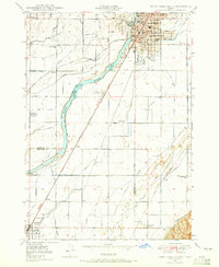
1952 Map of Goshen
USGS Topo · Published 1952About this map
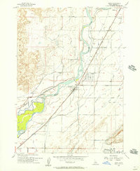
Goshen and the surrounding agricultural lands of the Snake River Plain are defined here by a sophisticated irrigation network that sustained mid-century Idaho farming. Drawing from the Snake River and Blackfoot River, a complex series of waterways including the Highline Canal, Idaho Canal, and Monson Lateral traverse the landscape, illustrating the engineered transformation of this arid region. The map transitions from the level valley floor, punctuated by the Jameston Sch and the small settlement of Cox, into the rising slopes of the Blackfoot Mountains and the Sand Hills to the east.
Find a feature on this map
32 named features on this map. Tap any name to fly to it.
Don’t see what you’re looking for? This feature index may not catch every label — zoom into the map to look around manually.
Map Details
Editions of this 1952 Goshen Map
This is the sole edition of this map. No revisions or reprints were ever made.
Other maps of this area
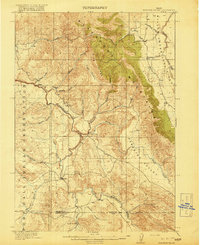
1918 · Paradise Valley
USGS Topo · 1:62,500

1924 · Ammon
USGS Topo · 1:62,500

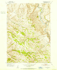
1948 · Woodville
USGS Topo · 1:24,000
1948 · Idaho Falls South
USGS Topo · 1:24,000

1950 · Woodville
USGS Topo · 1:24,000

1950 · Idaho Falls South
USGS Topo · 1:24,000

1950 · Goshen
USGS Topo · 1:24,000
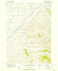
1951 · Higham Peak
USGS Topo · 1:24,000
1955 · Lincoln Creek
USGS Topo · 1:24,000
1955 · Firth
USGS Topo · 1:24,000