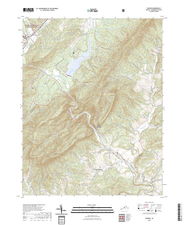
2022 Map of Goshen
USGS Topo · Published 2022About this map
The Calfpasture River and Little Calfpasture River meet north of the Maury River in this section of Rockbridge County, where the dramatic Goshen Pass cuts through the mountains. This 2022 survey details the landscape surrounding Lake Merriweather, revealing a region defined by its narrow valleys and prominent ridges like Hutcheson Ridge and Forge Mtn. Smaller settlements such as Wilson Springs and Fredericksburg are situated along the lower river bends, while Goshen marks the northwestern corner near the George Washington National Forest. Genealogy researchers can locate the Little River Cem and trace old family-named topography, including Davidson Ridge and Bunkin Hill. The map provides a contemporary view of the region's complex hydrology, from the Stillhouse Hollow drainage to the winding course of Hays Creek.
Find a feature on this map
96 named features on this map. Tap any name to fly to it.
Don’t see what you’re looking for? This feature index may not catch every label — zoom into the map to look around manually.
Map Details
Editions of this 2022 Goshen Map
This is the sole edition of this map. No revisions or reprints were ever made.
Other maps of this area

1894 · Staunton
USGS Topo · 1:125,000

1894 · Natural Bridge
USGS Topo · 1:125,000

1894 · Lexington
USGS Topo · 1:125,000

1901 · Monterey
USGS Topo · 1:125,000

1932 · Lexington
USGS Topo · 1:48,000

1937 · Lexington
USGS Topo · 1:62,500

1943 · Craigsville
USGS Topo · 1:62,500

1945 · Craigsville
USGS Topo · 1:62,500

1946 · Millboro
USGS Topo · 1:62,500

1946 · Williamsville
USGS Topo · 1:62,500