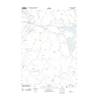
2012 Map of Gossville
USGS Topo · Published 2012About this map
The Suncook River and its tributary, the Little Suncook River, dictate the settlement pattern of this Merrimack County landscape. The village of Gossville and the town of Epsom occupy the central valley, while smaller hamlets like Short Falls and New Rye are situated along the secondary waterways of Bear Brook and Deer Brook. This map provides significant detail for genealogists, as it documents several historic burial grounds including Gossville Cem, McClary Cem, and Whittier Cem.
Find a feature on this map
132 named features on this map. Tap any name to fly to it.
Don’t see what you’re looking for? This feature index may not catch every label — zoom into the map to look around manually.
Map Details
Editions of this 2012 Gossville Map
This is the sole edition of this map. No revisions or reprints were ever made.
Other maps of this area

1917 · Mt. Pawtuckaway
USGS Topo · 1:62,500

1919 · Mt. Pawtuckaway
USGS Topo · 1:62,500

1919 · Gilmanton
USGS Topo · 1:62,500

1919 · Alton
USGS Topo · 1:62,500

1921 · Suncook
USGS Topo · 1:62,500

1927 · Gilmanton
USGS Topo · 1:62,500

1939 · Mt. Pawtuckaway
USGS Topo · 1:62,500

1944 · Mt. Pawtuckaway
USGS Topo · 1:62,500

1944 · Suncook
USGS Topo · 1:62,500

1949 · Portland
USGS Topo · 1:250,000