2015 Map of Gossville
USGS Topo · Published 2015About this map
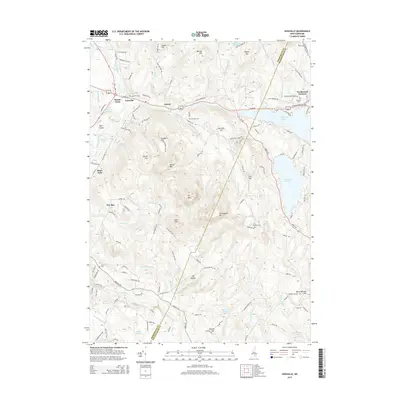
Gossville and the surrounding township of Epsom are defined by a high-relief landscape where the Suncook River and its various branches, including the Little Suncook River, navigate between prominent peaks. Significant elevations like Ft Mtn, Nottingham Mtn, and McCoy Mtn dominate the central terrain, while the eastern edge is characterized by the sizable waters of Pleasant Lake and Northwood Lake. Local history is preserved in small clusters like Short Falls and New Rye, and along old routes like Dover Rd. The presence of several burial grounds, such as McClary Cem, Fairview Cem, and Whittier Cem, provides valuable reference points for genealogical research. The map also delineates the Merrimack and Rockingham county line as it cuts through the highlands south of Northwood Narrows.
Find a feature on this map
128 named features on this map. Tap any name to fly to it.
Don’t see what you’re looking for? This feature index may not catch every label — zoom into the map to look around manually.
Map Details
Editions of this 2015 Gossville Map
This is the sole edition of this map. No revisions or reprints were ever made.
Other maps of this area

1917 · Mt. Pawtuckaway
USGS Topo · 1:62,500

1919 · Mt. Pawtuckaway
USGS Topo · 1:62,500

1919 · Gilmanton
USGS Topo · 1:62,500

1919 · Alton
USGS Topo · 1:62,500

1921 · Suncook
USGS Topo · 1:62,500

1927 · Gilmanton
USGS Topo · 1:62,500

1939 · Mt. Pawtuckaway
USGS Topo · 1:62,500

1944 · Mt. Pawtuckaway
USGS Topo · 1:62,500

1944 · Suncook
USGS Topo · 1:62,500

1949 · Portland
USGS Topo · 1:250,000