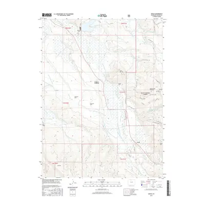
2016 Map of Gould
USGS Topo · Published 2016About this map
Gould and Stelbars Lindland anchor this high-altitude landscape where the Michigan River and its numerous tributaries meet a complex network of early water management systems. The area is defined by a dense web of historic irrigation and transport ditches, such as the Poverty Flat Ditch Number 1 and Owl Mountain Ditch, which redirect snowmelt across the valley floor. To the east, the Medicine Bow Mountains and Bull Mountain rise sharply, marking the boundary of the Routt National Forest. The map documents a rugged timber and ranching environment characterized by seasonal trails like the Beaver Lodge Trail and the Snow Snakes road, alongside significant peaks including Custer Mountain and Gould Mountain. This topography reveals the essential relationship between the region's high mountain peaks and the water rights infrastructure that sustains the lower basins.
Find a feature on this map
72 named features on this map. Tap any name to fly to it.
Don’t see what you’re looking for? This feature index may not catch every label — zoom into the map to look around manually.
Map Details
Editions of this 2016 Gould Map
This is the sole edition of this map. No revisions or reprints were ever made.
Other maps of this area
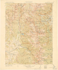
1915 · Longs Peak
USGS Topo · 1:125,000
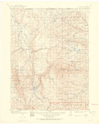
1916 · Home
USGS Topo · 1:125,000
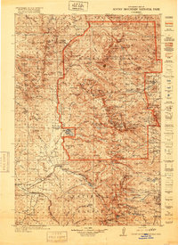
1919 · Rocky Mountain National Park
USGS Topo · 1:125,000
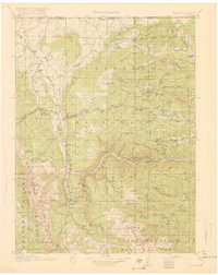
1920 · Home
USGS Topo · 1:125,000
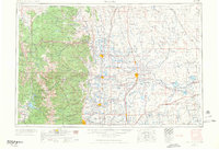
1954 · Greeley
USGS Topo · 1:250,000
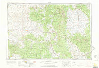
1954 · Craig
USGS Topo · 1:250,000
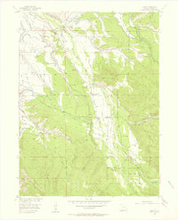
1955 · Gould
USGS Topo · 1:24,000
1955 · Owl Ridge
USGS Topo · 1:24,000
1955 · Gould NW
USGS Topo · 1:24,000
1956 · Johnny Moore Mountain
USGS Topo · 1:24,000