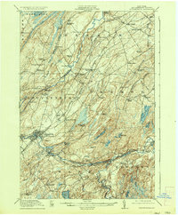
1937 Map of Gouverneur
USGS Topo · Published 1937About this map
The Oswegatchie River defines the landscape of central St. Lawrence County, winding through the townships of Gouverneur, De Kalb, and Fowler. This pre-war snapshot reveals a rural economy deeply tied to the land and water, featuring the concentration of industry at Fullerville Ironworks and the notable Hailes Hopyard near Hailesboro. The transport network is anchored by the New York Central railroad and river crossings like the Rock Island Bridge, which connected disparate farming communities.
Find a feature on this map
96 named features on this map. Tap any name to fly to it.
Don’t see what you’re looking for? This feature index may not catch every label — zoom into the map to look around manually.
Map Details
Editions of this 1937 Gouverneur Map
This is the sole edition of this map. No revisions or reprints were ever made.
Other maps of this area
1904 · Ogdensburg
USGS Topo · 1:62,500
1905 · Ogdensburg
USGS Topo · 1:62,500
1906 · Brier Hill
USGS Topo · 1:62,500
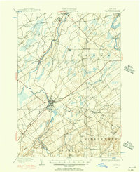
1910 · Canton
USGS Topo · 1:62,500
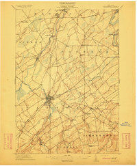
1911 · Canton
USGS Topo · 1:62,500
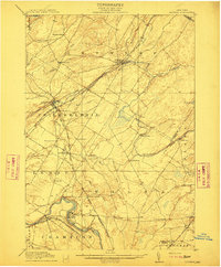
1911 · Antwerp
USGS Topo · 1:62,500
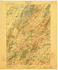
1912 · Hammond
USGS Topo · 1:62,500
1913 · Lake Bonaparte
USGS Topo · 1:62,500
1915 · Gouverneur
USGS Topo · 1:62,500
1915 · Russell
USGS Topo · 1:62,500