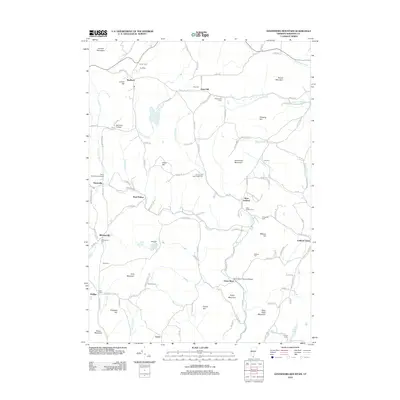
2012 Map of Governors Mountain
USGS Topo · Published 2012About this map
The Green River Covered Bridge serves as a focal point for this area of southern Vermont, where the Green River cuts a deep path through the highlands of Windham County. Small, established settlements like Marlboro, West Guilford, and Guilford Center are connected by a network of winding roads such as Ames Hill Rd and Hinesburg Rd. This landscape is characterized by its numerous family-named peaks and ridges, including Governors Mountain, Ginseng Hill, and Pulpit Mountain. Local history and genealogy are well-preserved through a high density of small burial grounds, from the First Cem near Marlboro to the Thomas Hill Bell-Phelps Cem and Winchester Cem. The presença of Marlboro College and the Moss Hollow Campground suggests a mix of educational and recreational use in this forested terrain during the early 21st century.
Find a feature on this map
120 named features on this map. Tap any name to fly to it.
Don’t see what you’re looking for? This feature index may not catch every label — zoom into the map to look around manually.
Map Details
Editions of this 2012 Governors Mountain Map
This is the sole edition of this map. No revisions or reprints were ever made.
Other maps of this area

1886 · Hawley
USGS Topo · 1:62,500

1889 · Wilmington
USGS Topo · 1:62,500

1890 · Hawley
USGS Topo · 1:62,500

1890 · Greenfield
USGS Topo · 1:62,500

1891 · Wilmington
USGS Topo · 1:62,500

1891 · Brattleboro
USGS Topo · 1:62,500

1893 · Brattleboro
USGS Topo · 1:62,500

1894 · Greenfield
USGS Topo · 1:62,500

1894 · Hawley
USGS Topo · 1:62,500

1899 · Wilmington
USGS Topo · 1:62,500