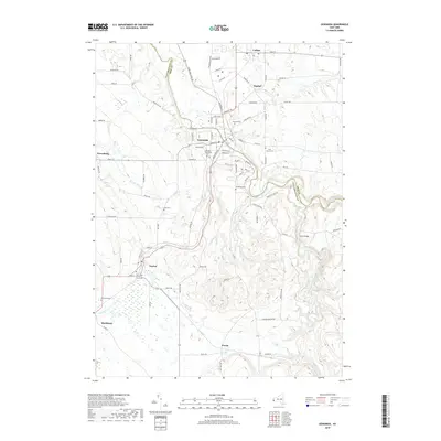
2019 Map of Gowanda
USGS Topo · Published 2019About this map
Cattaraugus Creek carves a deep valley that defines the border between Erie and Cattaraugus Counties, anchored by the village of Gowanda. This 2019 survey illustrates a landscape of clustered rural settlements and family-named landmarks, such as the Jolls Cem and Markhams Cem, which offer significant value for genealogists tracing local lineage. The drainage patterns of Thatcher Brook and Point Peter Brook influence the placement of the road network, which connects outlying hamlets like Bagdad, Dayton, and Markhams. Cultural history is particularly evident in the preservation of numerous burial grounds, including the Pioneer Methodist Cem and the Saint Pauls of the Cross Cem further south. The map provides a clear picture of how historical settlement patterns have persisted along the watercourses and ridges of this western New York region.
Find a feature on this map
55 named features on this map. Tap any name to fly to it.
Don’t see what you’re looking for? This feature index may not catch every label — zoom into the map to look around manually.
Map Details
Editions of this 2019 Gowanda Map
This is the sole edition of this map. No revisions or reprints were ever made.
Other maps of this area

1899 · Silver Creek
USGS Topo · 1:62,500

1900 · Cherry Creek
USGS Topo · 1:62,500

1905 · Eden
USGS Topo · 1:62,500

1907 · Eden
USGS Topo · 1:62,500

1923 · Cattaraugus
USGS Topo · 1:62,500

1938 · Cattaraugus
USGS Topo · 1:62,500

1941 · Cattaraugus
USGS Topo · 1:62,500

1941 · Cherry Creek
USGS Topo · 1:62,500

1944 · Eden
USGS Topo · 1:62,500

1944 · North Collins
USGS Topo · 1:31,680