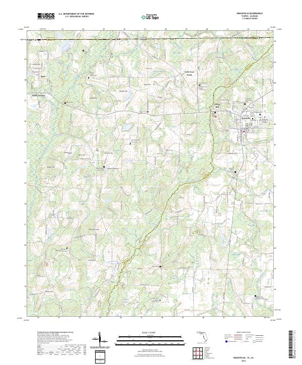
2024 Map of Graceville
USGS Topo · Published 2024About this map
Graceville and the surrounding borderlands of Jackson CO and Holmes CO anchor this survey of the Florida Panhandle and southern Alabama. The landscape is defined by the winding course of Holmes Creek and its many tributaries, such as Lighter Snag Creek and Wrights Creek, which feed into numerous bays and ponds including Buzzard Bay and Corbett Pond. The settlement pattern is largely shaped by agriculture and religious life, evidenced by the high density of rural cemeteries and churches like East Mount Zion Methodist Cem and Damascus Baptist Church Cem.
Find a feature on this map
173 named features on this map. Tap any name to fly to it.
Don’t see what you’re looking for? This feature index may not catch every label — zoom into the map to look around manually.
Map Details
Editions of this 2024 Graceville Map
This is the sole edition of this map. No revisions or reprints were ever made.
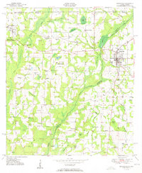
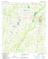
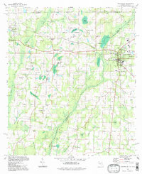
Historical Maps of Underwood Crossing Through Time
4 maps found