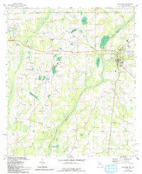
1982 Map of Graceville
USGS Topo · Published 1993About this map
Graceville serves as the primary hub in this corner of the Florida panhandle, where the L & N RR meets a landscape defined by intricate water networks and agricultural hills. The map captures a transition from the rolling terrain of Geneva and Holmes Counties in Alabama and Florida down toward the wetlands of Jackson County. Evidence of early habitation and community life is widespread, from the Indian Mound near Reddick Hill to the high density of rural houses of worship such as Liberty Hill Ch, Selma Ch, and Beulah Ch.
Find a feature on this map
70 named features on this map. Tap any name to fly to it.
Don’t see what you’re looking for? This feature index may not catch every label — zoom into the map to look around manually.
Map Details
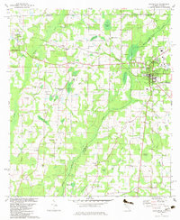
Editions of this 1982 Graceville Map
2 editions found
Other maps of this area

1942 · Enterprise
USGS Topo · 1:125,000

1950 · Chipley
USGS Topo · 1:24,000

1950 · Esto
USGS Topo · 1:24,000

1951 · Graceville
USGS Topo · 1:24,000

1951 · Esto
USGS Topo · 1:24,000

1951 · Chipley
USGS Topo · 1:24,000

1951 · Bonifay
USGS Topo · 1:24,000

1952 · Campbellton
USGS Topo · 1:24,000

1952 · Cottondale West
USGS Topo · 1:24,000

1953 · Dothan
USGS Topo · 1:250,000