Loading...
Loading map...2024 Map of Grady
USGS Topo · Published 2024About this map
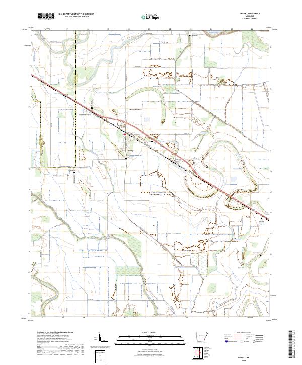
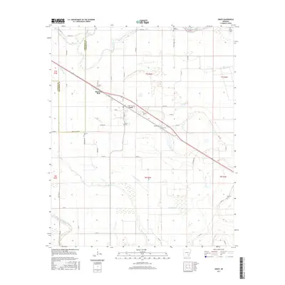
Grady is the central hub of this agricultural landscape along the Jefferson and Lincoln County line. The settlement pattern follows the diagonal path of W Railroad St and Old US Hwy 65, which parallel the historical rail corridor. The area is notable for its high density of family and community burial grounds, including Pleasant Grove Cem, Gocio Cem, and the Lincoln Memorial Lawn Cem, which serve as vital markers for genealogical research in this part of Arkansas.
Find a feature on this map
59 named features on this map. Tap any name to fly to it.
Don’t see what you’re looking for? This feature index may not catch every label — zoom into the map to look around manually.
Map Details
Date Portrayed2024
Date Published2024
PublisherU.S. Geological Survey
Map TypeTopographic
Scale1:24,000
Physical Dimensions24 x 29 inches
Editions of this 2024 Grady Map
This is the sole edition of this map. No revisions or reprints were ever made.
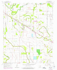
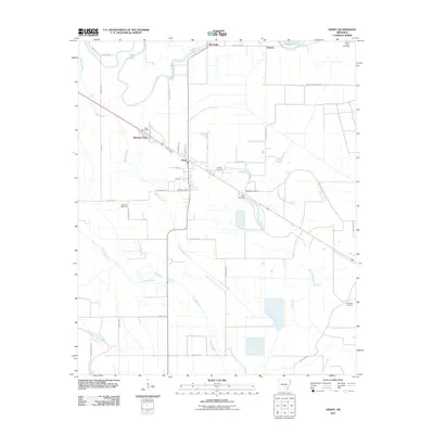
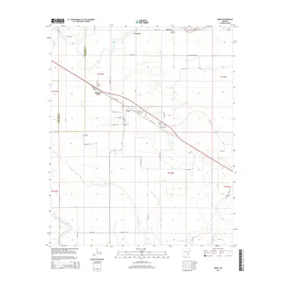
Historical Maps of Grady Through Time
6 maps found
Featured Locations
Source Details
SourceU.S. Geological Survey
CopyrightPublic Domain