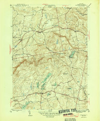
1946 Map of Grafton
USGS Topo · Published 1946About this map
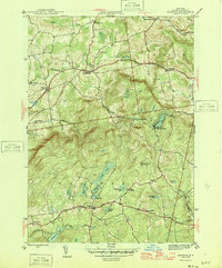
Highland lakes and small hamlets define this section of Rensselaer County during the mid-1940s. The settlement at Grafton sits at a crossroads near Burdick Pond, serving as a central point between the smaller communities of Pittstown, Boyntonville, and East Grafton. The landscape is notably dotted with numerous small bodies of water and ponds, including the cluster of Long Pond, Shaver Pond, and Mill Pond, many of which supported local industry or recreational sites like Camp Yowochas.
Find a feature on this map
39 named features on this map. Tap any name to fly to it.
Don’t see what you’re looking for? This feature index may not catch every label — zoom into the map to look around manually.
Map Details
Editions of this 1946 Grafton Map
2 editions found
Other maps of this area

1888 · Berlin
USGS Topo · 1:62,500

1890 · Berlin
USGS Topo · 1:62,500

1893 · Cohoes
USGS Topo · 1:62,500

1893 · Troy
USGS Topo · 1:62,500

1894 · Berlin
USGS Topo · 1:62,500

1895 · Troy
USGS Topo · 1:62,500

1895 · Cohoes
USGS Topo · 1:62,500

1897 · Hoosick
USGS Topo · 1:62,500

1898 · Berlin
USGS Topo · 1:62,500

1898 · Cohoes
USGS Topo · 1:62,500