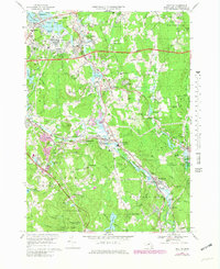
1969 Map of Grafton
USGS Topo · Published 1979About this map
The Blackstone River corridor defines the industrial and social development of this Worcester County region as seen in the late 1960s and 1970s. Industrial hamlets like Fisherville, Farnumsville, and Saundersville follow the river's bend, while the older village of Grafton sits on higher ground to the north. The landscape reflects a mix of institutional use and early suburbanization, notably featuring the sprawling Grafton State Hospital grounds and the expanding Mass Turnpike corridor.
Find a feature on this map
81 named features on this map. Tap any name to fly to it.
Don’t see what you’re looking for? This feature index may not catch every label — zoom into the map to look around manually.
Map Details
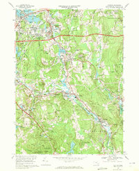
Editions of this 1969 Grafton Map
2 editions found
Other maps of this area

1885 · Worcester
USGS Topo · 1:62,500

1886 · Worcester
USGS Topo · 1:62,500

1886 · Blackstone
USGS Topo · 1:62,500

1887 · Marlboro
USGS Topo · 1:62,500

1889 · Marlboro
USGS Topo · 1:62,500

1889 · Blackstone
USGS Topo · 1:62,500

1889 · Webster
USGS Topo · 1:62,500

1892 · Webster
USGS Topo · 1:62,500

1892 · Worcester
USGS Topo · 1:62,500

1893 · Blackstone
USGS Topo · 1:62,500