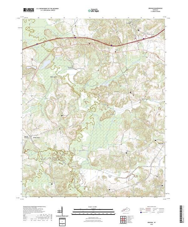
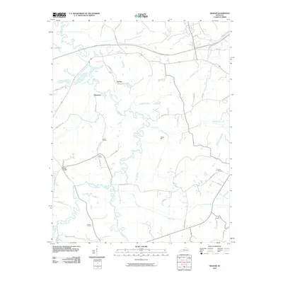
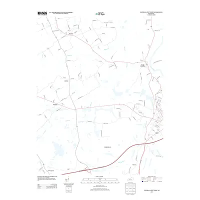
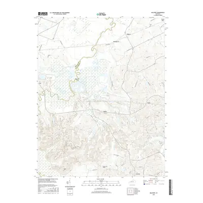
2022 Map of Graham
USGS Topo · Published 2022About this map
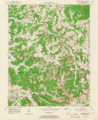
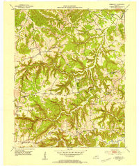
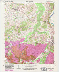
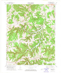
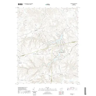
The Pond River and its expansive wetlands dominate the central corridor of this western Kentucky landscape, where the borders of Muhlenberg, Hopkins, and Christian counties converge. Modern infrastructure like the School Loop and Powerhouse Ln near Graham contrasts with the numerous family and community burial grounds that anchor the area's history. Genealogists can find precisely plotted sites such as Graham Hill Cem, Unity Cem, and the Cave Springs Missionary Baptist Church Cem.
Find a feature on this map
78 named features on this map. Tap any name to fly to it.
Don’t see what you’re looking for? This feature index may not catch every label — zoom into the map to look around manually.
Map Details
Editions of this 2022 Graham Map
This is the sole edition of this map. No revisions or reprints were ever made.
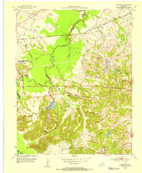
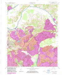
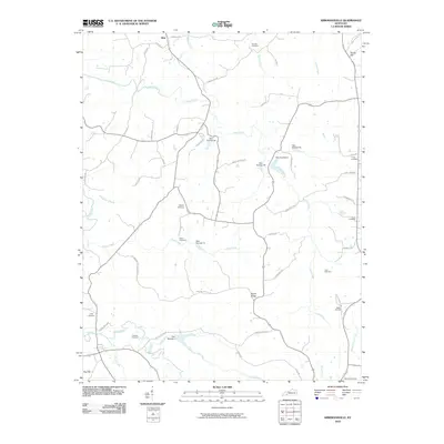
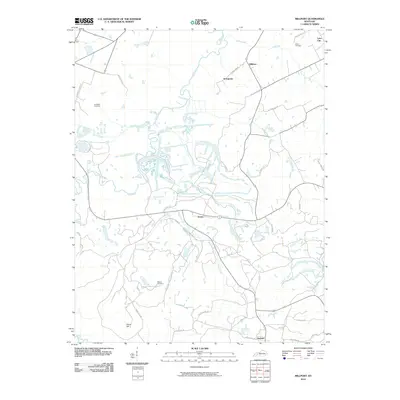
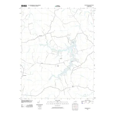
Historical Maps of White Plains Through Time
44 maps found
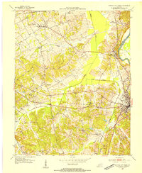
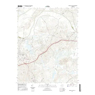
1953 Central City East
Muhlenberg County, KY
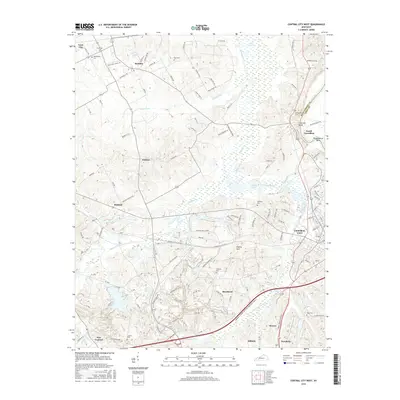
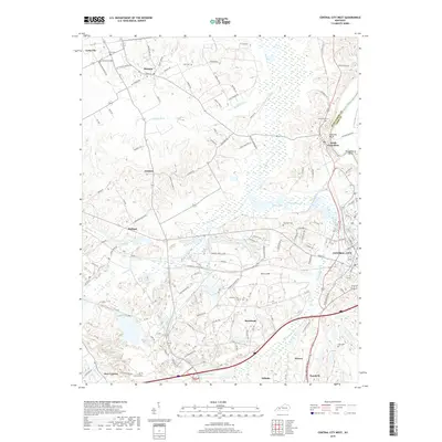
1953 Central City West
Muhlenberg County, KY
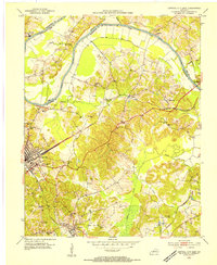
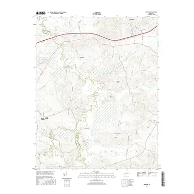
1953 Graham
Muhlenberg County, KY
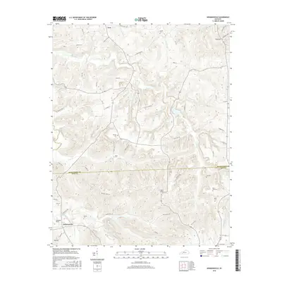
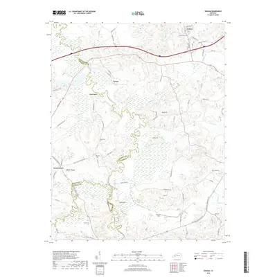
1953 Kirkmansville
Muhlenberg County, KY
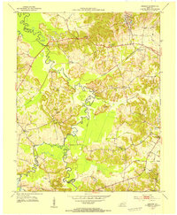
1953 Millport
Muhlenberg County, KY
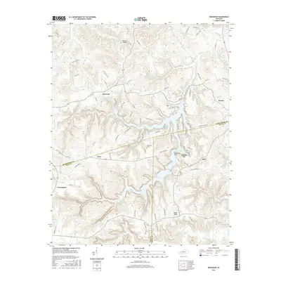
1953 Rosewood
Muhlenberg County, KY
1963 Central City East
Muhlenberg County, KY
1963 Central City West
Muhlenberg County, KY
1963 Graham
Muhlenberg County, KY
1963 Millport
Muhlenberg County, KY
1972 Kirkmansville
Muhlenberg County, KY
1972 Rosewood
Muhlenberg County, KY
1997 Central City East
Muhlenberg County, KY
1997 Central City West
Muhlenberg County, KY

2010 Central City East
Muhlenberg County, KY
2010 Central City West
Muhlenberg County, KY
2010 Graham
Muhlenberg County, KY
2010 Kirkmansville
Muhlenberg County, KY
2010 Millport
Muhlenberg County, KY
2010 Rosewood
Muhlenberg County, KY

2013 Central City East
Muhlenberg County, KY
2013 Central City West
Muhlenberg County, KY
2013 Graham
Muhlenberg County, KY
2013 Kirkmansville
Muhlenberg County, KY

2013 Millport
Muhlenberg County, KY
2013 Rosewood
Muhlenberg County, KY
2016 Central City East
Muhlenberg County, KY
2016 Central City West
Muhlenberg County, KY
2016 Graham
Muhlenberg County, KY
2016 Kirkmansville
Muhlenberg County, KY
2016 Millport
Muhlenberg County, KY
2016 Rosewood
Muhlenberg County, KY

2019 Central City East
Muhlenberg County, KY
2019 Central City West
Muhlenberg County, KY
2019 Graham
Muhlenberg County, KY
2019 Kirkmansville
Muhlenberg County, KY
2019 Millport
Muhlenberg County, KY
2019 Rosewood
Muhlenberg County, KY
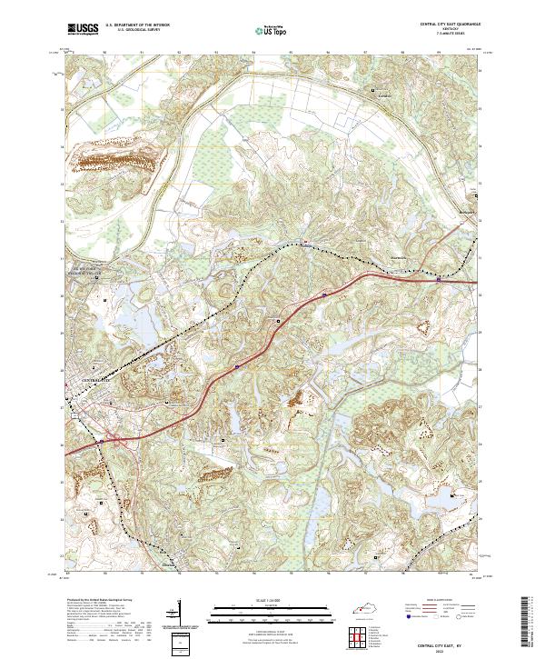
2022 Central City East
Muhlenberg County, KY
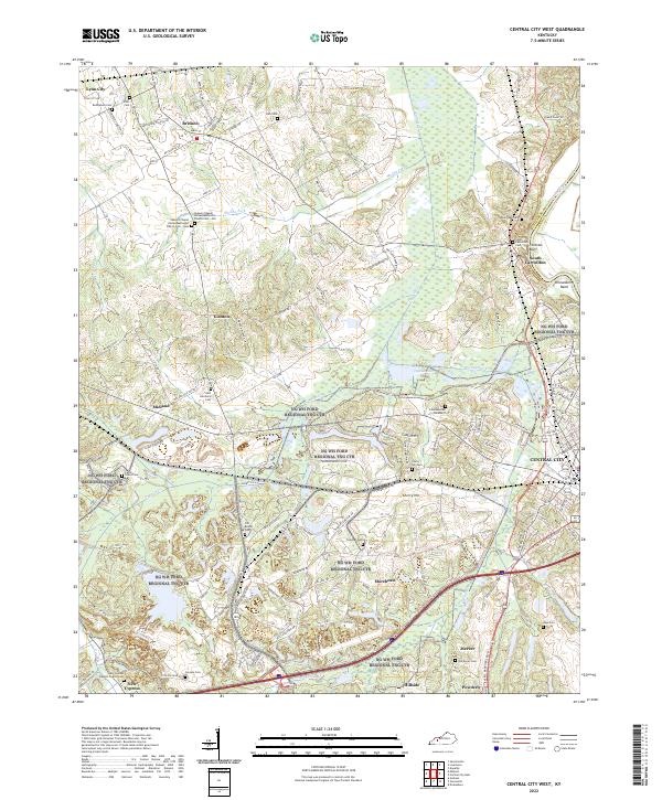
2022 Central City West
Muhlenberg County, KY
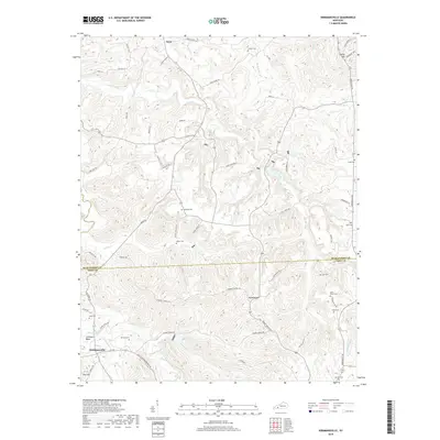
2022 Graham
Muhlenberg County, KY
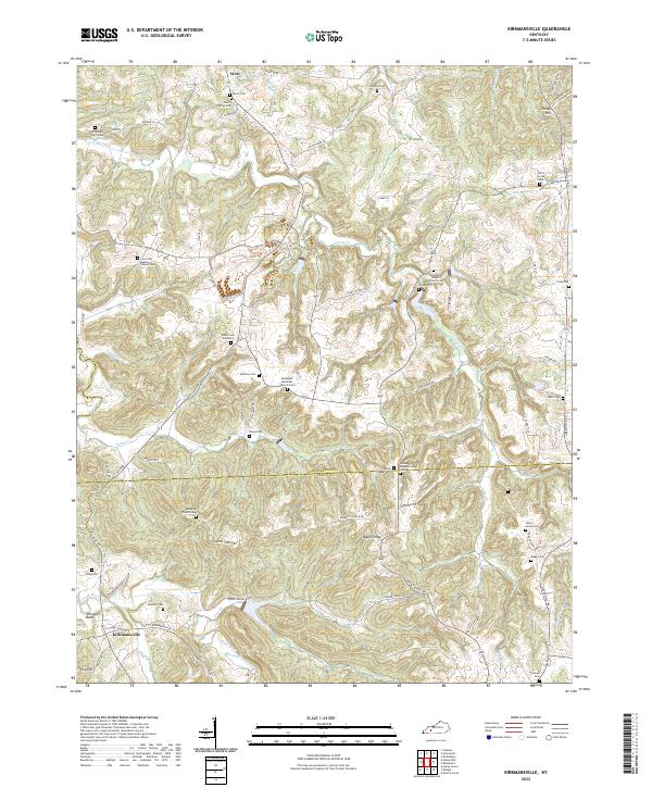
2022 Kirkmansville
Muhlenberg County, KY
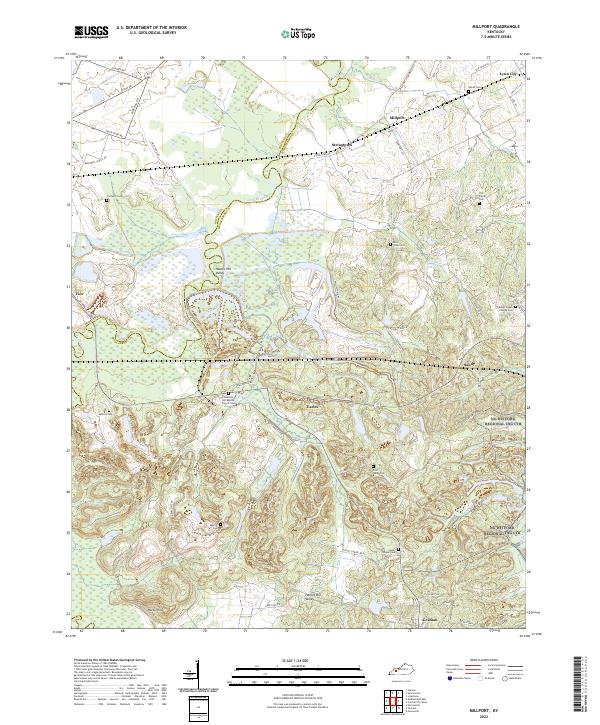
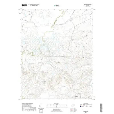
2022 Millport
Muhlenberg County, KY
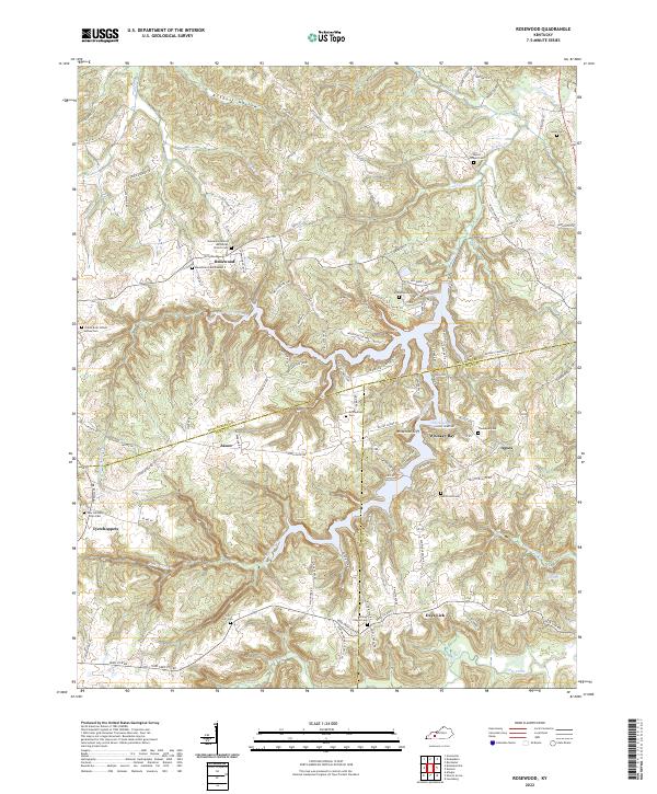
2022 Rosewood
Muhlenberg County, KY