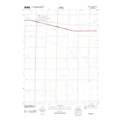
2009 Map of Grainfield
USGS Topo · Published 2009About this map
Grainfield serves as the primary hub of this Western Kansas landscape, situated along the historic corridor of Old Hwy 40. The town's grid is anchored by Front St and Cleveland St, with the Grainfield Cemetery positioned just to the northwest. The surrounding terrain is defined by the winding drainages of North Fork Big Creek and Big Creek, which weave through a series of section-line roads and designated township zones like Gove DD and Gove CC.
Find a feature on this map
24 named features on this map. Tap any name to fly to it.
Don’t see what you’re looking for? This feature index may not catch every label — zoom into the map to look around manually.
Map Details
Editions of this 2009 Grainfield Map
This is the sole edition of this map. No revisions or reprints were ever made.
Other maps of this area

1954 · Goodland
USGS Topo · 1:250,000

1955 · Scott City
USGS Topo · 1:250,000

1956 · Goodland
USGS Topo · 1:250,000

1957 · Goodland
USGS Topo · 1:250,000

1958 · Scott City
USGS Topo · 1:250,000

1972 · Gove NE
USGS Topo · 1:24,000

1972 · Orion NE
USGS Topo · 1:24,000

1972 · Gove
USGS Topo · 1:24,000

1979 · Park
USGS Topo · 1:24,000

1979 · Midway Draw West
USGS Topo · 1:24,000