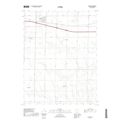
2018 Map of Grainfield
USGS Topo · Published 2018About this map
Grainfield serves as the primary hub of this High Plains landscape, situated along a dense grid of residential streets including Ash St, Elm St, and Cedar St. North of the town center, the Grainfield Cem stands near the intersection of Gove DD and Gove 46. The surrounding terrain is defined by the drainage patterns of the N Fork Big Cr and Big Cr, which carve through the prairie and structure the local county road network. The map reveals the rigid section lines typical of the region, where routes like Gove AA and Gove BB navigate the gentle draws leading toward E Spring Cr in the south. This survey provides a clear view of the agricultural organization and local infrastructure that sustains this Gove County community.
Find a feature on this map
41 named features on this map. Tap any name to fly to it.
Don’t see what you’re looking for? This feature index may not catch every label — zoom into the map to look around manually.
Map Details
Editions of this 2018 Grainfield Map
This is the sole edition of this map. No revisions or reprints were ever made.
Other maps of this area

1954 · Goodland
USGS Topo · 1:250,000

1955 · Scott City
USGS Topo · 1:250,000

1956 · Goodland
USGS Topo · 1:250,000

1957 · Goodland
USGS Topo · 1:250,000

1958 · Scott City
USGS Topo · 1:250,000
1972 · Gove NE
USGS Topo · 1:24,000
1972 · Orion NE
USGS Topo · 1:24,000
1972 · Gove
USGS Topo · 1:24,000
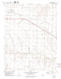
1979 · Park
USGS Topo · 1:24,000
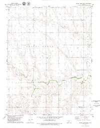
1979 · Midway Draw West
USGS Topo · 1:24,000