2022 Map of Grainola
USGS Topo · Published 2022About this map
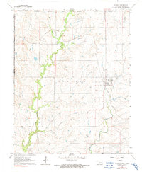
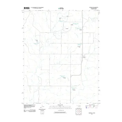
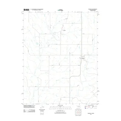
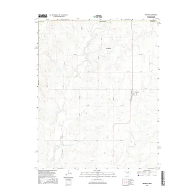
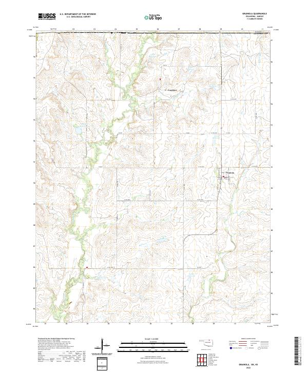
The small settlements of Grainola and Frankfort anchor this corner of Osage County, Oklahoma, just south of the Kansas-Oklahoma state line. The landscape is defined by the dendritic drainage patterns of Salt Creek and Beaver Creek, where numerous small reservoirs have been established to manage the prairie hydrology. In Grainola, the street grid remains clear along Broadway and Creek Ave, providing a window into the layout of this rural community in the northern reaches of the Osage.
Find a feature on this map
45 named features on this map. Tap any name to fly to it.
Don’t see what you’re looking for? This feature index may not catch every label — zoom into the map to look around manually.
Map Details
Editions of this 2022 Grainola Map
This is the sole edition of this map. No revisions or reprints were ever made.
Historical Maps of Grainola Through Time
6 maps found