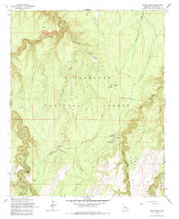
1965 Map of Grama Draw
USGS Topo · Published 1984About this map
Sitgreaves National Forest dominates this mid-century topographic study, revealing a landscape defined by deep drainage systems and early forest management infrastructure. The network of high ridges, such as Grama Ridge and Sand Point, is dissected by prominent watercourses including West Chevelon Canyon and Willow Creek. Evidence of land use is centered on the Chevelon Ranger Station and the Wallace Administrative Site (USFS), points that served as hubs for backcountry administration. The prevalence of specialized water features, such as the Ellsworth Trick Tank and Rock Trick Tank, illustrates the essential infrastructure required for supporting livestock or wildlife in this arid high-country environment. Navigability during this era relied on the Tillman Road and more primitive routes like the Jeep Trail, providing access to isolated crossings such as Wiggins Crossing.
Find a feature on this map
26 named features on this map. Tap any name to fly to it.
Don’t see what you’re looking for? This feature index may not catch every label — zoom into the map to look around manually.
Map Details
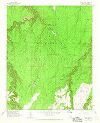
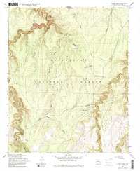
Editions of this 1965 Grama Draw Map
3 editions found
Other maps of this area

1886 · Holbrook
USGS Topo · 1:250,000

1887 · Verde
USGS Topo · 1:250,000

1892 · Verde
USGS Topo · 1:250,000

1893 · Holbrook
USGS Topo · 1:250,000

1934 · Promontory Butte
USGS Topo · 1:62,500

1939 · Promontory Butte
USGS Topo · 1:62,500

1952 · Promontory Butte
USGS Topo · 1:62,500

1954 · Holbrook
USGS Topo · 1:250,000

1957 · Holbrook
USGS Topo · 1:250,000

1958 · Holbrook
USGS Topo · 1:250,000