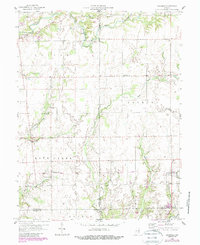
1958 Map of Grammer
USGS Topo · Published 1988About this map
Grammer and Sardinia anchor this mid-century look at the rural landscape where Bartholomew, Decatur, and Jennings counties meet. The terrain is defined by a dense network of waterways including Sand Creek and the meandering Clifty Creek, which shaped the early development of small communities like Burnsville and Alert. The map reveals the infrastructure of an earlier era, specifically the Old Railroad corridor passing near the Township Sch. Genealogists will find significant value in the distribution of family and community burial grounds, such as Mt Pisgah Cem, Asbury Cem, and Mt Pleasant Cem, which are scattered throughout the agricultural tracts. This 1950s survey, later updated with 1980s aerial data, preserves the locations of local landmarks like the Shirk Cem and early Gas Well sites that have since been modified by modern land use.
Find a feature on this map
41 named features on this map. Tap any name to fly to it.
Don’t see what you’re looking for? This feature index may not catch every label — zoom into the map to look around manually.
Map Details
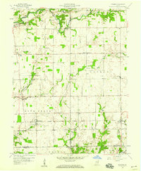
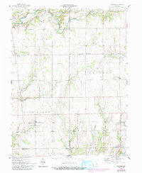
Editions of this 1958 Grammer Map
4 editions found

Other maps of this area

1942 · Columbus
USGS Topo · 1:125,000

1947 · Hope
USGS Topo · 1:24,000

1948 · Hope
USGS Topo · 1:24,000

1950 · Edinburg
USGS Topo · 1:62,500

1953 · Cincinnati
USGS Topo · 1:250,000

1957 · Cincinnati
USGS Topo · 1:250,000

1957 · Butlerville
USGS Topo · 1:24,000

1957 · Azalia
USGS Topo · 1:24,000

1957 · North Vernon
USGS Topo · 1:24,000

1958 · Westport
USGS Topo · 1:24,000