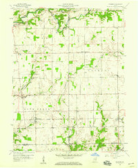
1958 Map of Grammer
USGS Topo · Published 1977About this map
The Chicago Milwaukee St Paul and Pacific railroad cuts a straight east-west line across this mid-century landscape, serving the small agricultural hubs of Grammer and Sardinia. This corner of Southeastern Indiana is defined by its complex network of creeks, including the winding Clifty Creek and Rock Creek, which dictate the placement of local homesteads and crossroads.
Find a feature on this map
35 named features on this map. Tap any name to fly to it.
Don’t see what you’re looking for? This feature index may not catch every label — zoom into the map to look around manually.
Map Details
Editions of this 1958 Grammer Map
4 editions found

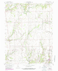
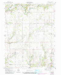
Other maps of this area

1942 · Columbus
USGS Topo · 1:125,000

1947 · Hope
USGS Topo · 1:24,000

1948 · Hope
USGS Topo · 1:24,000

1950 · Edinburg
USGS Topo · 1:62,500

1953 · Cincinnati
USGS Topo · 1:250,000

1957 · Cincinnati
USGS Topo · 1:250,000

1957 · Butlerville
USGS Topo · 1:24,000

1957 · Azalia
USGS Topo · 1:24,000

1957 · North Vernon
USGS Topo · 1:24,000

1958 · Westport
USGS Topo · 1:24,000