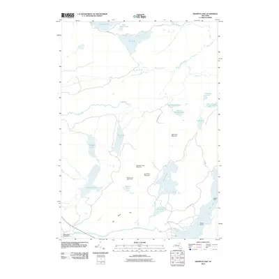
2010 Map of Grampus Lake
USGS Topo · Published 2010About this map
Adirondack Park land dominates this 2010 topographic record of the Harrietstown vicinity, defined by an intricate network of waterways and isolated peaks. Large water bodies such as McRorie Lake and the western edge of Long Lake anchor the eastern side of the quadrangle, while Grampus Lake and Mohegan Lake occupy the central and western reaches. The landscape is shaped by notable elevations including Grampus Lake Mountain, Rock Pond Mountain, and Mud Pond Mountain, which rise above a series of smaller ponds and streams. A primitive road network consisting of Moose Ponds Rd and Langely Park Rd provides limited access to these interior waters. The presence of features like Landing Bay, Watch Rock, and Round Island along the shoreline of Long Lake suggests a landscape defined by seasonal recreational use and wilderness preservation rather than industrial development.
Find a feature on this map
31 named features on this map. Tap any name to fly to it.
Don’t see what you’re looking for? This feature index may not catch every label — zoom into the map to look around manually.
Map Details
Editions of this 2010 Grampus Lake Map
This is the sole edition of this map. No revisions or reprints were ever made.
Other maps of this area

1903 · Raquette Lake
USGS Topo · 1:62,500

1903 · Blue Mountain
USGS Topo · 1:62,500

1904 · Long Lake
USGS Topo · 1:62,500

1907 · Tupper Lake
USGS Topo · 1:62,500

1948 · Ogdensburg
USGS Topo · 1:250,000

1950 · Utica
USGS Topo · 1:250,000

1951 · Ogdensburg
USGS Topo · 1:250,000

1953 · Ogdensburg
USGS Topo · 1:250,000

1954 · Tupper Lake
USGS Topo · 1:62,500

1954 · Blue Mountain
USGS Topo · 1:62,500