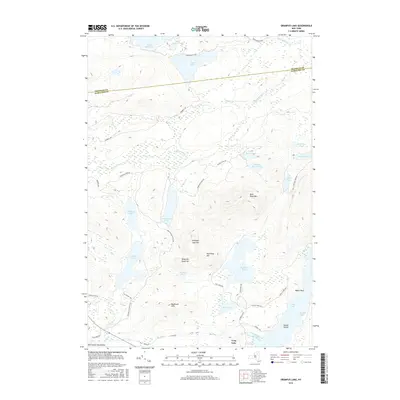
2016 Map of Grampus Lake
USGS Topo · Published 2016About this map
The Adirondack Mountains of Harrietstown, New York, are defined by a complex network of glacial ponds and rugged peaks within the Adirondack Park. Central to this landscape are the pristine waters of Grampus Lake and the high elevations of Grampus Lake Mtn, Rock Pond Mtn, and Mud Pond Mtn. The terrain is crisscrossed by specialized access routes such as Fish Camp Way, Last Resort Way, and the John Dillon Access Rd, reflecting the area's history of recreation and managed forest use. To the south, the northern reaches of Long Lake appear near Landing Bay and Round Island, where the drainage of Big Brook enters the lake system. The boundary between Franklin Co and Hamilton Co cuts across the northern half of the map, passing just south of Duck Lake and Saint Hubert Pond.
Find a feature on this map
47 named features on this map. Tap any name to fly to it.
Don’t see what you’re looking for? This feature index may not catch every label — zoom into the map to look around manually.
Map Details
Editions of this 2016 Grampus Lake Map
This is the sole edition of this map. No revisions or reprints were ever made.
Other maps of this area

1903 · Raquette Lake
USGS Topo · 1:62,500

1903 · Blue Mountain
USGS Topo · 1:62,500

1904 · Long Lake
USGS Topo · 1:62,500

1907 · Tupper Lake
USGS Topo · 1:62,500

1948 · Ogdensburg
USGS Topo · 1:250,000

1950 · Utica
USGS Topo · 1:250,000

1951 · Ogdensburg
USGS Topo · 1:250,000

1953 · Ogdensburg
USGS Topo · 1:250,000

1954 · Tupper Lake
USGS Topo · 1:62,500

1954 · Blue Mountain
USGS Topo · 1:62,500