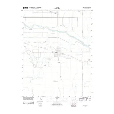
2010 Map of Granada
USGS Topo · Published 2010About this map
Camp Amache and its corresponding Amache Cemetery stand as significant historical markers south of the Arkansas River in this section of Prowers County. The landscape is defined by an extensive network of irrigation infrastructure designed to manage the river's flow, including the Buffalo Canal, Amity Canal, and Granada Ditch. These waterways support the agricultural character of the high plains, connecting the small settlements of Granada, Bristol, and Koen. The map reveals the precise grid of the former relocation center alongside modern landmarks like the Granada Cemetery and the northern reach of Wolf Creek. The intricate system of county roads, such as County Road FF and County Road 25, provides a detailed view of the rural property boundaries and transport patterns of the early 21st century.
Find a feature on this map
50 named features on this map. Tap any name to fly to it.
Don’t see what you’re looking for? This feature index may not catch every label — zoom into the map to look around manually.
Map Details
Editions of this 2010 Granada Map
This is the sole edition of this map. No revisions or reprints were ever made.
Other maps of this area

1890 · Granada
USGS Topo · 1:125,000

1891 · Albany
USGS Topo · 1:125,000

1892 · Granada
USGS Topo · 1:125,000

1893 · Albany
USGS Topo · 1:125,000

1894 · Granada
USGS Topo · 1:125,000

1952 · Carlton
USGS Topo · 1:24,000

1953 · Holly West
USGS Topo · 1:24,000

1953 · Granada
USGS Topo · 1:24,000

1954 · Lamar
USGS Topo · 1:250,000

1955 · Granada NW
USGS Topo · 1:24,000