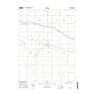
2016 Map of Granada
USGS Topo · Published 2016About this map
Granada serves as the central hub of this eastern Colorado landscape, where the Arkansas River is flanked by an intricate network of irrigation systems and early settlements. The agricultural development of Prowers County is clearly visible through the engineered water ways of the Buffalo Canal, Granada Ditch, and Lamar Canal, which divert water to the surrounding fields. Local history and genealogy are anchored by several burial grounds, including Amache Cem to the southwest of town and Hillside Cem to the east. Smaller community centers and sidings like Bristol, Warwick, and Koen are documented along the section lines. The map also captures the settlement of Nueva Vis and various family-named thoroughfares, such as Goff Ave and S Labelle Ave, providing a detailed look at the rural road grid and water-rights infrastructure.
Find a feature on this map
60 named features on this map. Tap any name to fly to it.
Don’t see what you’re looking for? This feature index may not catch every label — zoom into the map to look around manually.
Map Details
Editions of this 2016 Granada Map
This is the sole edition of this map. No revisions or reprints were ever made.
Other maps of this area
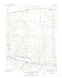
1890 · Granada
USGS Topo · 1:125,000
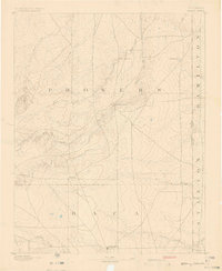
1891 · Albany
USGS Topo · 1:125,000
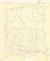
1892 · Granada
USGS Topo · 1:125,000
1893 · Albany
USGS Topo · 1:125,000
1894 · Granada
USGS Topo · 1:125,000
1952 · Carlton
USGS Topo · 1:24,000
1953 · Holly West
USGS Topo · 1:24,000
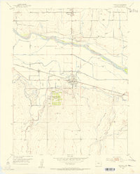
1953 · Granada
USGS Topo · 1:24,000
1954 · Lamar
USGS Topo · 1:250,000
1955 · Granada NW
USGS Topo · 1:24,000