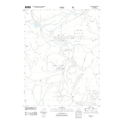
2011 Map of Granby
USGS Topo · Published 2011About this map
The Colorado River and Fraser River converge near the town of Granby, a central hub for water management and mountain transit in the early 21st century. This 2011 survey illustrates the complex irrigation and storage systems vital to the region, including the Windy Gap Reservoir, the Bunte Highline Ditch, and the Peterson Ditch. Resource management is further evidenced by the Sulphur District Ranger Office and a series of dams, such as the F W Linke Number 2 Dam.
Find a feature on this map
77 named features on this map. Tap any name to fly to it.
Don’t see what you’re looking for? This feature index may not catch every label — zoom into the map to look around manually.
Map Details
Editions of this 2011 Granby Map
This is the sole edition of this map. No revisions or reprints were ever made.
Other maps of this area

1915 · Longs Peak
USGS Topo · 1:125,000

1919 · Rocky Mountain National Park
USGS Topo · 1:125,000

1924 · Fraser
USGS Topo · 1:62,500

1926 · Fraser
USGS Topo · 1:62,500

1933 · Ute Peak
USGS Topo · 1:62,500

1937 · Ute Peak
USGS Topo · 1:62,500

1953 · Denver
USGS Topo · 1:250,000

1954 · Greeley
USGS Topo · 1:250,000

1954 · Craig
USGS Topo · 1:250,000

1957 · Denver
USGS Topo · 1:250,000