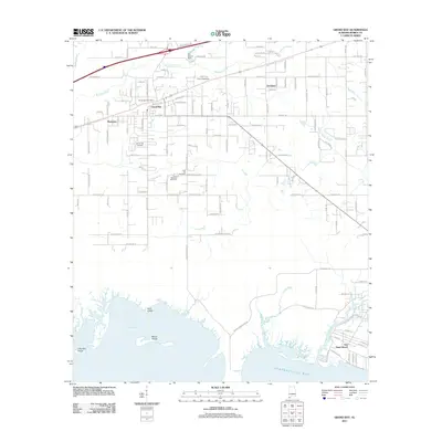
2011 Map of Grand Bay
USGS Topo · Published 2011About this map
Grand Bay serves as the primary hub of this Gulf Coast landscape, characterized by a transition from inland residential grids to the intricate estuaries of the Alabama shoreline. The community's infrastructure is anchored by the Grand Bay Post Office and multiple burial grounds including the Grand Bay Cemetery and the Pine Hill Cemetery near the center of the quadrangle. To the north, the J and J Speedway and the H C Farmer Dam along Franklin Creek illustrate the local intersection of recreation and water management.
Find a feature on this map
126 named features on this map. Tap any name to fly to it.
Don’t see what you’re looking for? This feature index may not catch every label — zoom into the map to look around manually.
Map Details
Editions of this 2011 Grand Bay Map
This is the sole edition of this map. No revisions or reprints were ever made.
Other maps of this area

1921 · Grand Bay
USGS Topo · 1:62,500

1921 · Delchamps
USGS Topo · 1:62,500

1922 · Mobile
USGS Topo · 1:62,500

1940 · Mobile
USGS Topo · 1:62,500

1941 · Cedar Point
USGS Topo · 1:62,500

1941 · Hurley
USGS Topo · 1:62,500

1942 · Theodore
USGS Topo · 1:31,680

1943 · Cedar Point
USGS Topo · 1:62,500

1943 · Theodore
USGS Topo · 1:31,680

1943 · Grand Bay
USGS Topo · 1:62,500