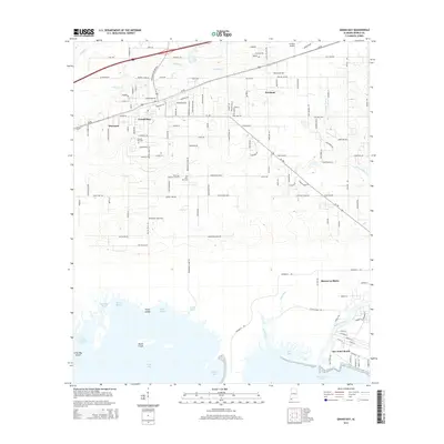
2014 Map of Grand Bay
USGS Topo · Published 2014About this map
Grand Bay and Bayou La Batre anchor this coastal portrait of southwestern Mobile County, where the low-lying terrain meets the waters of the Gulf. The landscape is defined by an intricate network of tidal inlets and marshes, including Bayou La Fourche Bay and Portersville Bay. In the northern interior, the settlement of Grand Bay is established along the rail lines and major thoroughfares like Us-90, while local history is preserved at the Grand Bay Cem and Pine Hill Cem. Near the coast, the waterfront identity of Bayou La Batre is evident, with its connection to Little River and the sheltered Little Bay. The presence of the St Elmo Airport in the northeast and smaller communities such as Pinecrest and Fernland suggest a region shaped by both its maritime economy and its position along critical transportation corridors leading toward the Mississippi border.
Find a feature on this map
144 named features on this map. Tap any name to fly to it.
Don’t see what you’re looking for? This feature index may not catch every label — zoom into the map to look around manually.
Map Details
Editions of this 2014 Grand Bay Map
This is the sole edition of this map. No revisions or reprints were ever made.
Other maps of this area

1921 · Grand Bay
USGS Topo · 1:62,500

1921 · Delchamps
USGS Topo · 1:62,500

1922 · Mobile
USGS Topo · 1:62,500

1940 · Mobile
USGS Topo · 1:62,500

1941 · Cedar Point
USGS Topo · 1:62,500

1941 · Hurley
USGS Topo · 1:62,500

1942 · Theodore
USGS Topo · 1:31,680

1943 · Cedar Point
USGS Topo · 1:62,500

1943 · Theodore
USGS Topo · 1:31,680

1943 · Grand Bay
USGS Topo · 1:62,500