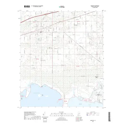
2018 Map of Grand Bay
USGS Topo · Published 2018About this map
The coastal lowlands of Mobile County meet the Gulf of Mexico in this detailed 2018 survey. The landscape is defined by the complex transition from land to sea, where the Grand Bay Swamp gives way to a network of tidal waters including Bull Bay Bayou, Bayou Caddy, and Grand Bayou. Inland, the settlement of Grand Bay is situated near the CSX Transportation line, serving as a hub for the surrounding rural area.
Find a feature on this map
139 named features on this map. Tap any name to fly to it.
Don’t see what you’re looking for? This feature index may not catch every label — zoom into the map to look around manually.
Map Details
Editions of this 2018 Grand Bay Map
This is the sole edition of this map. No revisions or reprints were ever made.
Other maps of this area
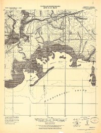
1921 · Grand Bay
USGS Topo · 1:62,500
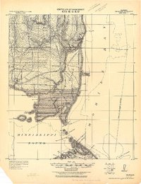
1921 · Delchamps
USGS Topo · 1:62,500
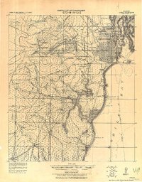
1922 · Mobile
USGS Topo · 1:62,500
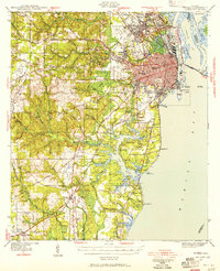
1940 · Mobile
USGS Topo · 1:62,500
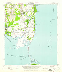
1941 · Cedar Point
USGS Topo · 1:62,500
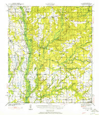
1941 · Hurley
USGS Topo · 1:62,500
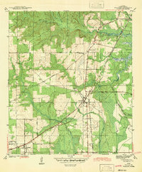
1942 · Theodore
USGS Topo · 1:31,680
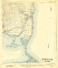
1943 · Cedar Point
USGS Topo · 1:62,500
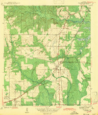
1943 · Theodore
USGS Topo · 1:31,680
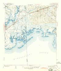
1943 · Grand Bay
USGS Topo · 1:62,500