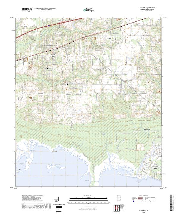
2024 Map of Grand Bay
USGS Topo · Published 2024About this map
The coastal marshes and pine-lined corridors of Mobile County are captured here, centered on the settlement of Grand Bay. This area is defined by the transition from upland agricultural lands to the expansive Grand Bay National Wildlife Refuge. The map reveals a landscape heavily influenced by its proximity to the Gulf, with the massive Grand Bay Swamp draining into a network of bayous, including Grand Bayou and Bayou Caddy.
Find a feature on this map
84 named features on this map. Tap any name to fly to it.
Don’t see what you’re looking for? This feature index may not catch every label — zoom into the map to look around manually.
Map Details
Editions of this 2024 Grand Bay Map
This is the sole edition of this map. No revisions or reprints were ever made.
Other maps of this area

1921 · Grand Bay
USGS Topo · 1:62,500

1921 · Delchamps
USGS Topo · 1:62,500

1922 · Mobile
USGS Topo · 1:62,500

1940 · Mobile
USGS Topo · 1:62,500

1941 · Cedar Point
USGS Topo · 1:62,500

1941 · Hurley
USGS Topo · 1:62,500

1942 · Theodore
USGS Topo · 1:31,680

1943 · Cedar Point
USGS Topo · 1:62,500

1943 · Theodore
USGS Topo · 1:31,680

1943 · Grand Bay
USGS Topo · 1:62,500