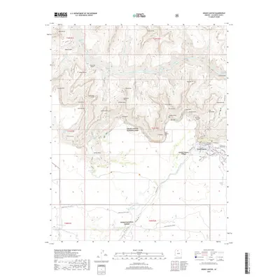
2018 Map of Grand Canyon
USGS Topo · Published 2018About this map
Grand Canyon Village sits at the heart of this landscape, serving as the primary hub for activity within Grand Canyon National Park. The developed area includes the Grand Canyon Pioneer Cem, a School, and a Clinic, connected by a network of local roads like Rowe Well Rd and Village Loop Dr. Beyond the village, the terrain drops dramatically into the Colorado River corridor, where notable features include Boucher Rapids and Granite Rapids at the bottom of the Granite Gorge. The mapping reveals the complex names of the inner canyon, from the Cathedral Stairs near Cope Butte to the isolated settlement at Indian Garden. Water sources remain critical in this arid environment, marked by numerous basins such as Horsethief Tank and springs like Santa Maria Spring, illustrating the logistical challenges of life and travel along the rim and the south-flowing Coconino Wash into the Kaibab National Forest.
Find a feature on this map
93 named features on this map. Tap any name to fly to it.
Don’t see what you’re looking for? This feature index may not catch every label — zoom into the map to look around manually.
Map Details
Editions of this 2018 Grand Canyon Map
This is the sole edition of this map. No revisions or reprints were ever made.
Other maps of this area
1886 · Chino
USGS Topo · 1:250,000
1886 · Kaibab
USGS Topo · 1:250,000
1891 · Chino
USGS Topo · 1:250,000
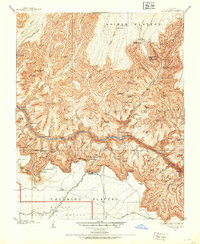
1903 · Bright Angel
USGS Topo · 1:48,000
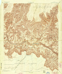
1906 · Bright Angel
USGS Topo · 1:48,000
1948 · Williams
USGS Topo · 1:250,000
1953 · Grand Canyon
USGS Topo · 1:250,000
1954 · Williams
USGS Topo · 1:250,000
1956 · Williams
USGS Topo · 1:250,000
1957 · Grand Canyon
USGS Topo · 1:250,000