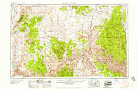
1958 Map of Grand Canyon
USGS Topo · Published 1958About this map
Hurricane Cliffs and the immense Uinkaret Plateau dominate this 1950s landscape, illustrating the remote ranching and timber economy of Northern Arizona before modern infrastructure transformed the region. The map captures a network of family-held outposts and water sources such as Sullivans Ranch, Atkins Ranch, and the Sullivan Reservoir, highlighting the critical importance of reliable springs and catchments in the arid high desert.
Find a feature on this map
96 named features on this map. Tap any name to fly to it.
Don’t see what you’re looking for? This feature index may not catch every label — zoom into the map to look around manually.
Map Details
Editions of this 1958 Grand Canyon Map
This is the sole edition of this map. No revisions or reprints were ever made.
Other maps of this area
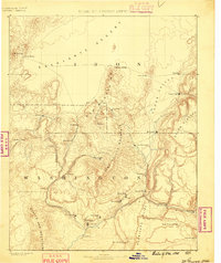
1885 · St. George
USGS Topo · 1:250,000
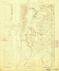
1885 · Pioche
USGS Topo · 1:250,000
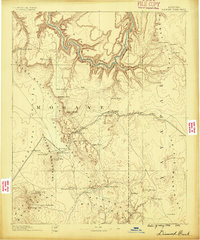
1886 · Diamond Creek
USGS Topo · 1:250,000
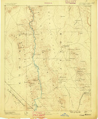
1886 · Camp Mohave
USGS Topo · 1:250,000
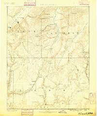
1886 · Kanab
USGS Topo · 1:250,000
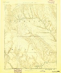
1886 · Escalante
USGS Topo · 1:250,000
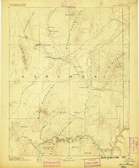
1886 · Saint Thomas
USGS Topo · 1:250,000
1886 · San Francisco Mtns
USGS Topo · 1:250,000
1886 · Mt. Trumbull
USGS Topo · 1:250,000
1886 · Chino
USGS Topo · 1:250,000