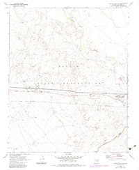
1969 Map of Grand Falls SE
USGS Topo · Published 1983About this map
The Little Colorado River winds through the northern reaches of the Navajo Indian Reservation, shaping a landscape defined by significant infrastructure and educational outposts. This desert terrain includes shifting Sand Dunes and the deep cut of Canyon Diablo in the southeast. A central corridor of activity follows Leupp Road, where several industrial and utility sites appear, including a Compressor Station, a Substation, and multiple pipelines traversing the plains. Educational facilities are concentrated near the eastern edge, featuring the Leupp Boarding Sch, Leupp Sch, and a Headstart Sch. Near these schools, the Sunrise Landing Field and various Sewage Disposal Ponds suggest a small but structured community hub serving the reservation during the late 1960s and early 1980s.
Find a feature on this map
15 named features on this map. Tap any name to fly to it.
Don’t see what you’re looking for? This feature index may not catch every label — zoom into the map to look around manually.
Map Details
Editions of this 1969 Grand Falls SE Map
2 editions found
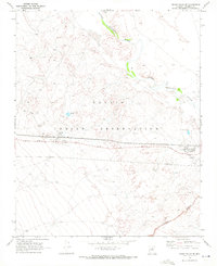
Other maps of this area

1883 · Tusayan
USGS Topo · 1:250,000

1886 · Tusayan
USGS Topo · 1:250,000

1886 · San Francisco Mtns
USGS Topo · 1:250,000

1891 · San Francisco Mtns
USGS Topo · 1:250,000

1894 · San Francisco Mtns
USGS Topo · 1:250,000

1899 · San Francisco Mtns
USGS Topo · 1:250,000

1947 · Flagstaff
USGS Topo · 1:250,000

1954 · Flagstaff
USGS Topo · 1:250,000

1955 · Winslow 2 SW
USGS Topo · 1:24,000

1955 · Grand Falls NE
USGS Topo · 1:24,000