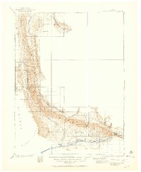
1906 Map of Grand Hogback
USGS Topo · Published 1959About this map
The Grand Hogback forms a striking geologic spine through this 1906 topographic study, marking the sharp transition between the Roan Plateau and the lower river valleys. Along the southern edge, the Colorado River corridor serves as the primary artery for settlement and transport, anchored by the Denver and Rio Grande RR. This rail line connects the agricultural and ranching hubs of Rifle, Antlers, Silt, and Newcastle.
Find a feature on this map
21 named features on this map. Tap any name to fly to it.
Don’t see what you’re looking for? This feature index may not catch every label — zoom into the map to look around manually.
Map Details
Editions of this 1906 Grand Hogback Map
This is the sole edition of this map. No revisions or reprints were ever made.
Other maps of this area
1907 · White River
USGS Topo · 1:125,000
1910 · Danforth Hills
USGS Topo · 1:125,000
1910 · Grand Hogback
USGS Topo · 1:125,000
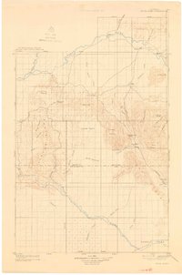
1910 · White River
USGS Topo · 1:125,000
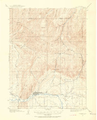
1912 · Meeker
USGS Topo · 1:62,500
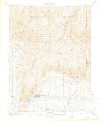
1914 · Meeker
USGS Topo · 1:62,500
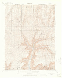
1925 · Parachute Creek
USGS Topo · 1:62,500
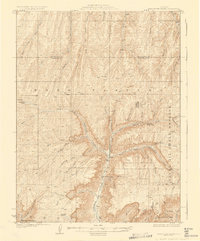
1927 · Parachute Creek
USGS Topo · 1:62,500
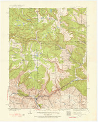
1927 · Glenwood Springs
USGS Topo · 1:125,000
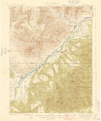
1929 · Grand Valley
USGS Topo · 1:62,500