2021 Map of Grand Island
USGS Topo · Published 2021About this map
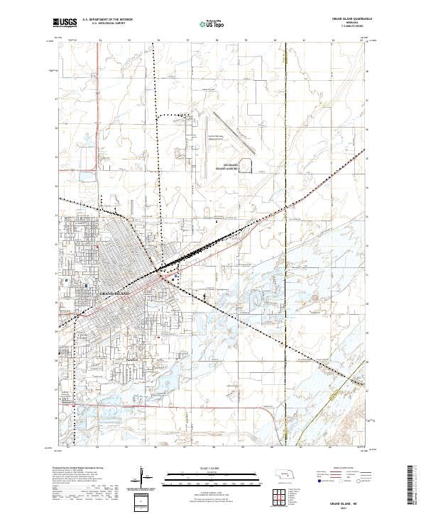
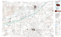
Grand Island serves as the focal point of this 2021 study, exhibiting the dense grid of a Nebraska regional hub at the confluence of agriculture and industry. The municipal core is anchored by the Hall County Courthouse, while educational facilities like Bellevue University - Grand Island and Central Community College mark the southern expansion toward Parkview. The surrounding landscape is defined by the complex hydrology of the central Platte Valley. The Platte River itself cuts through the southeastern corner, while smaller waterways such as the Wood River, Moores Cr, and Silver Cr thread through the township lines. Noteworthy landmarks include local recreation sites like Crystal Lake and Lake Davis, alongside the expansive grounds of the East Grand Island Cem and the Grand Island Cem, which provide significant points of interest for those researching local family history.
Find a feature on this map
39 named features on this map. Tap any name to fly to it.
Don’t see what you’re looking for? This feature index may not catch every label — zoom into the map to look around manually.
Map Details
Editions of this 2021 Grand Island Map
This is the sole edition of this map. No revisions or reprints were ever made.
Historical Maps of Grand Island Through Time
12 maps found

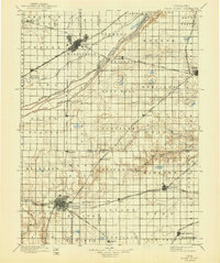
1892 Grand Island
Hall County, NE

1895 Grand Island
Hall County, NE
1898 Grand Island
Hall County, NE
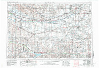
1955 Grand Island
Hall County, NE

1957 Grand Island
Hall County, NE

1958 Grand Island
Hall County, NE
1962 Grand Island
Hall County, NE
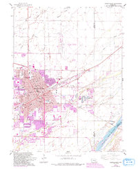
1985 Grand Island
Hall County, NE
2011 Grand Island
Hall County, NE
2014 Grand Island
Hall County, NE
2017 Grand Island
Hall County, NE
2021 Grand Island
Hall County, NE
Featured Locations
- Grand Island, NE
- Kuesters Lake, NE
- Kingwood Estates, Grand Island
- Parkview, Grand Island
- Pioneer Estates, Grand Island