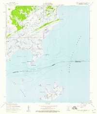
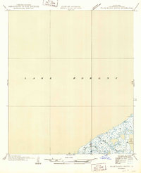
1956 Map of Grand Island Pass
USGS Topo · Published 1960About this map
Coastal wetlands and intricate tidal bayous define this mid-century survey of the Mississippi Sound shoreline near the Louisiana border. The tiny settlements of Ansley and Lakeshore are established on the higher ground of the interior, while the surrounding marsh is divided by large ancestral land grants such as the George Mares Claim and the Stephen Wintworth Claim. These historic claims suggest early settlement patterns that persisted long after the Nashville and Louisville Road provided inland access. Along the coast, complex water networks like Caddy Bayou and Heron Bayou weave through a landscape of shifting points and islands. Cultural markers like St Anns Ch and the Bayou Caddy Cem provide anchor points for genealogists researching the families of Hancock County. To the south, isolated landmasses including Point Clear Island and the substantial Grand Island separate the sound from Lake Borgne.
Find a feature on this map
45 named features on this map. Tap any name to fly to it.
Don’t see what you’re looking for? This feature index may not catch every label — zoom into the map to look around manually.
Map Details
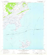
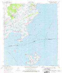
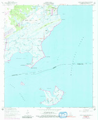
Editions of this 1956 Grand Island Pass Map
4 editions found
Other maps of this area

1893 · Rigolets
USGS Topo · 1:62,500

1893 · Toulme
USGS Topo · 1:62,500

1914 · Nicholson
USGS Topo · 1:62,500

1921 · Nicholson
USGS Topo · 1:62,500

1935 · English Lookout
USGS Topo · 1:31,680

1935 · Grand Island Pass
USGS Topo · 1:31,680

1936 · Rigolets
USGS Topo · 1:62,500

1946 · Malheureux Point
USGS Topo · 1:31,680

1949 · Grand Island Pass
USGS Topo · 1:31,680
1949 · False Mouth Bayou
USGS Topo · 1:31,680