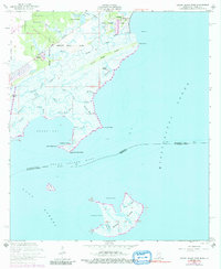
1956 Map of Grand Island Pass
USGS Topo · Published 1991About this map
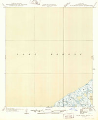
The Louisville and Nashville railroad cuts a straight path through the low-lying coastal marshes of Hancock County, serving the small communities of Ansley and Lakeshore. This coastal landscape is defined by an intricate network of waterways like Bayou Caddy and Point Clear Bayou, where land use is rooted in historical land grants such as the George Mares Claim and the Ebenezer Reese Claim. These early property divisions stand in contrast to the shifting, tide-washed environments of Heron Bay and the isolated Grand Island.
Find a feature on this map
46 named features on this map. Tap any name to fly to it.
Don’t see what you’re looking for? This feature index may not catch every label — zoom into the map to look around manually.
Map Details
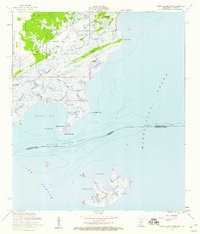
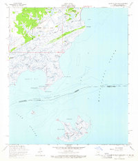
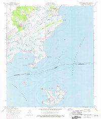
Editions of this 1956 Grand Island Pass Map
4 editions found
Other maps of this area

1893 · Rigolets
USGS Topo · 1:62,500

1893 · Toulme
USGS Topo · 1:62,500

1914 · Nicholson
USGS Topo · 1:62,500

1921 · Nicholson
USGS Topo · 1:62,500

1935 · English Lookout
USGS Topo · 1:31,680

1935 · Grand Island Pass
USGS Topo · 1:31,680

1936 · Rigolets
USGS Topo · 1:62,500

1946 · Malheureux Point
USGS Topo · 1:31,680

1949 · Grand Island Pass
USGS Topo · 1:31,680
1949 · False Mouth Bayou
USGS Topo · 1:31,680