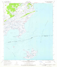
1956 Map of Grand Island Pass
USGS Topo · Published 1965About this map
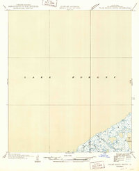
The salt marshes and tidal bayous of the Mississippi-Louisiana border define this coastal survey, where the terrestrial landscape dissolves into Mississippi Sound and Lake Borgne. Small coastal settlements like Ansley and Lakeshore anchor the northern edge of the map, while the interior is dominated by a complex network of waterways including Bayou Caddy, Campbell Bayou, and Bayou Toucre. The map reveals the intricate colonial legacy of the Gulf Coast through the inclusion of private land grants such as the Stephen Wintworth Claim and Nancy Collins Claim. Out in the sound, the topography focuses on the fragmented landmasses of Grand Island, Pokey Dutch Island, and Grassy Island. Navigational markers like a Derrick and various Lights indicate the maritime activity surrounding St Joseph Point and the Grand Island Pass.
Find a feature on this map
44 named features on this map. Tap any name to fly to it.
Don’t see what you’re looking for? This feature index may not catch every label — zoom into the map to look around manually.
Map Details
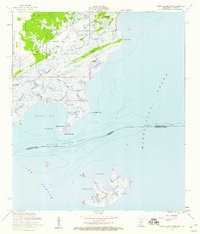
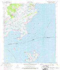
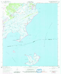
Editions of this 1956 Grand Island Pass Map
4 editions found
Other maps of this area

1893 · Rigolets
USGS Topo · 1:62,500

1893 · Toulme
USGS Topo · 1:62,500

1914 · Nicholson
USGS Topo · 1:62,500

1921 · Nicholson
USGS Topo · 1:62,500

1935 · English Lookout
USGS Topo · 1:31,680

1935 · Grand Island Pass
USGS Topo · 1:31,680

1936 · Rigolets
USGS Topo · 1:62,500

1946 · Malheureux Point
USGS Topo · 1:31,680

1949 · Grand Island Pass
USGS Topo · 1:31,680
1949 · False Mouth Bayou
USGS Topo · 1:31,680