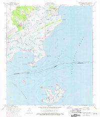
1956 Map of Grand Island Pass
USGS Topo · Published 1971About this map
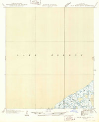
The coastal wetlands of the Mississippi-Louisiana border are meticulously documented in this survey, showcasing a complex network of waterways where Mississippi Sound meets Lake Borgne. The settlement at Ansley and the nearby Lakeshore define the northern edge of this marshy landscape, while historical land divisions like the Ebenezer Reese Claim and George Mares Claim highlight early property boundaries along the Gulf. Infrastructure is represented by the Nashville and Louisville RR, which cuts through the terrain near St Anns Ch and the Bayou Caddy Cem. Farther south, the map details the labyrinthine inlets of Heron Bay and the isolated Grand Island, separated by the namesake Grand Island Pass. Numerous smaller water bodies, including Shrimp Bayou and Redfish Bayou, illustrate the region's historical reliance on the surrounding waters for navigation and industry.
Find a feature on this map
46 named features on this map. Tap any name to fly to it.
Don’t see what you’re looking for? This feature index may not catch every label — zoom into the map to look around manually.
Map Details
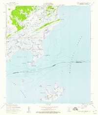
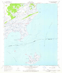
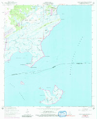
Editions of this 1956 Grand Island Pass Map
4 editions found
Other maps of this area

1893 · Rigolets
USGS Topo · 1:62,500

1893 · Toulme
USGS Topo · 1:62,500

1914 · Nicholson
USGS Topo · 1:62,500

1921 · Nicholson
USGS Topo · 1:62,500

1935 · English Lookout
USGS Topo · 1:31,680

1935 · Grand Island Pass
USGS Topo · 1:31,680

1936 · Rigolets
USGS Topo · 1:62,500

1946 · Malheureux Point
USGS Topo · 1:31,680

1949 · Grand Island Pass
USGS Topo · 1:31,680
1949 · False Mouth Bayou
USGS Topo · 1:31,680