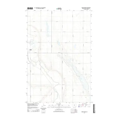
2014 Map of Grand Rapids
USGS Topo · Published 2014About this map
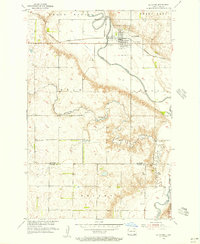
Grand Rapids sits as the primary settlement on this North Dakota prairie landscape, situated along a sharp bend of the James River. The river channel defines the local geography, cutting a winding path through the township as it flows southeast toward the bottom of the quadrangle. The surrounding terrain is a typical glaciated plain, marked by numerous small depressions and the presence of Twin Lakes in the eastern portion of the sheet. A regular grid of section roads, including CR-63 and numbered avenues like 102nd Ave SE, organizes the agricultural land, reflecting the systematic land survey patterns of LaMoure County. This 2014 edition provides a contemporary record of the area's rural road network and hydrological features as they appeared in the early 21st century.
Find a feature on this map
18 named features on this map. Tap any name to fly to it.
Don’t see what you’re looking for? This feature index may not catch every label — zoom into the map to look around manually.
Map Details
Editions of this 2014 Grand Rapids Map
This is the sole edition of this map. No revisions or reprints were ever made.
Other maps of this area
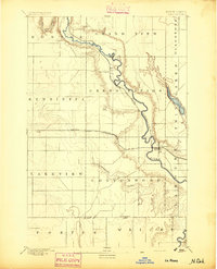
1894 · La Moure
USGS Topo · 1:62,500
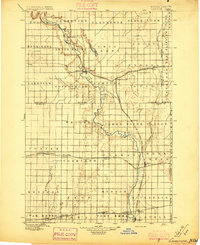
1895 · Lamoure
USGS Topo · 1:125,000
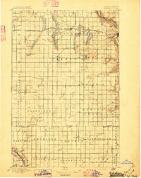
1897 · Eckelson
USGS Topo · 1:125,000
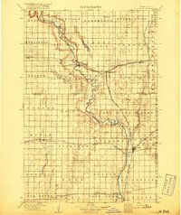
1918 · La Moure
USGS Topo · 1:125,000
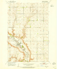
1952 · Dickey
USGS Topo · 1:24,000
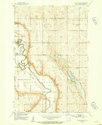
1952 · Grand Rapids
USGS Topo · 1:24,000
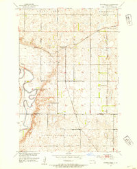
1952 · Independence
USGS Topo · 1:24,000

1953 · Jamestown
USGS Topo · 1:250,000
1955 · La Moure
USGS Topo · 1:24,000

1956 · Jamestown
USGS Topo · 1:250,000
Featured Places
- Grand Rapids, ND
- Gladstone Township, ND
- Pearl Lake Township, ND
- Grand Rapids Township, ND
- Grandview Township, ND