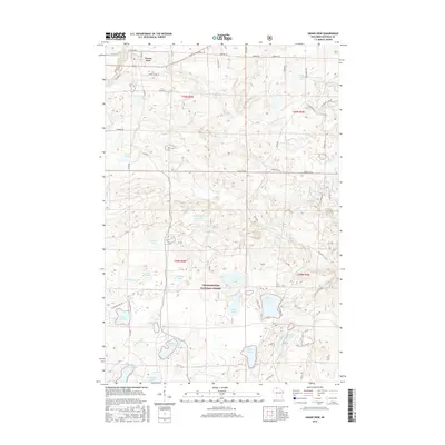
2015 Map of Grand View
USGS Topo · Published 2015About this map
Grand View serves as the primary hub of this northern Wisconsin landscape, situated along the northern edge of the Chequamegon National Forest. The geography is defined by a dense concentration of glacial water bodies, from the larger Atkins Lake and Namekagon Lake in the south to smaller, tucked-away features like Lake Knotting and Friedbauer Lake. The drainage network is equally intricate, featuring the Marengo River flowing through the northeast and the headwaters of Twentymile Creek and Eighteenmile Creek carving through the center. For the local historian, the map preserves the alignment of Old Grade Road and various forest routes like Camp Eight Road, which hint at the region's logging roots. The presence of features such as the Pre-emption Creek Pond and Trapper Lake further illustrates the legacy of land claims and early wilderness activity in Bayfield County.
Find a feature on this map
44 named features on this map. Tap any name to fly to it.
Don’t see what you’re looking for? This feature index may not catch every label — zoom into the map to look around manually.
Map Details
Editions of this 2015 Grand View Map
This is the sole edition of this map. No revisions or reprints were ever made.
Other maps of this area

1942 · Clam Lake
USGS Topo · 1:48,000

1942 · Marengo
USGS Topo · 1:48,000

1943 · Namekagon Lake
USGS Topo · 1:48,000

1944 · Grandview
USGS Topo · 1:48,000

1945 · Namekagon Lake
USGS Topo · 1:48,000

1945 · Marengo
USGS Topo · 1:48,000

1945 · Clam Lake
USGS Topo · 1:48,000

1947 · Grandview
USGS Topo · 1:48,000

1953 · Ashland
USGS Topo · 1:250,000

1958 · Ashland
USGS Topo · 1:250,000