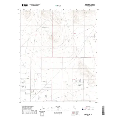
2021 Map of Grand View Mine
USGS Topo · Published 2021About this map
Lucerne Valley occupies the southern reaches of this high-desert landscape, where residential development meets the rising slopes of the Ord Mountains and Fry Mountains. This modern topographic study reveals a transition from the structured grid of the valley floor to the irregular, open terrain of the Mojave Desert. The map details a dense network of local thoroughfares, including Northside Rd and Smoke Bush Rd, which navigate the desert floor near the base of the mountains.
Find a feature on this map
48 named features on this map. Tap any name to fly to it.
Don’t see what you’re looking for? This feature index may not catch every label — zoom into the map to look around manually.
Map Details
Editions of this 2021 Grand View Mine Map
This is the sole edition of this map. No revisions or reprints were ever made.
Other maps of this area
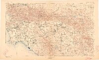
1901 · Southern California Sheet No. 1
USGS Topo · 1:250,000
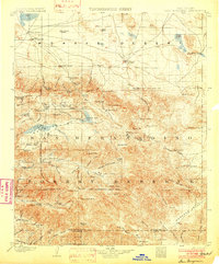
1902 · San Gorgonio
USGS Topo · 1:125,000

1904 · Southern California Sheet No. 1
USGS Topo · 1:250,000
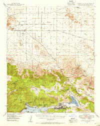
1947 · Lucerne Valley
USGS Topo · 1:62,500
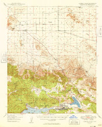
1949 · Lucerne Valley
USGS Topo · 1:62,500
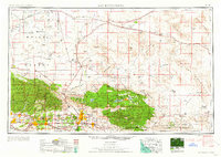
1953 · San Bernardino
USGS Topo · 1:250,000
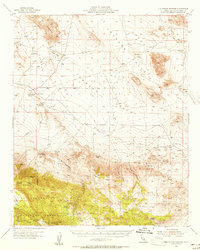
1955 · Old Woman Springs
USGS Topo · 1:62,500
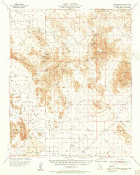
1955 · Ord Mountains
USGS Topo · 1:62,500
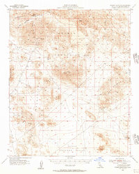
1955 · Rodman Mountains
USGS Topo · 1:62,500
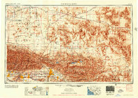
1956 · San Bernardino
USGS Topo · 1:250,000