
1955 Map of Rodman Mountains
USGS Topo · Published 1957About this map
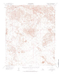
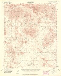
The Rodman Mountains dominate this mid-century high desert landscape, characterized by extensive volcanic activity evidenced by wide stretches of Lava and the prominent Red Hill. This 1950s survey documents a region defined by its isolation and mineral potential, with numerous extractive sites scattered across the terrain, including the Silver Bell Mine, Camp Rock Mine, and the Bessemer Mine. To the north, Kane Springs and Kane Wash provide critical desert hydrology, while the presence of Indian Petroglyphs points to the deep human history of the basin. The map also captures the early footprints of military and aviation infrastructure in the region, noting a Landing Field near the Iron Ridge and the edge of the Marine Corps Training Center. A network of Jeep Trails provides the primary means of traversal through the Upper Johnson Valley and the surrounding peaks of the Newberry Mts.
Find a feature on this map
23 named features on this map. Tap any name to fly to it.
Don’t see what you’re looking for? This feature index may not catch every label — zoom into the map to look around manually.
Map Details
Editions of this 1955 Rodman Mountains Map
3 editions found
Other maps of this area

1901 · Southern California Sheet No. 1
USGS Topo · 1:250,000

1902 · San Gorgonio
USGS Topo · 1:125,000

1904 · Southern California Sheet No. 1
USGS Topo · 1:250,000

1947 · Lucerne Valley
USGS Topo · 1:62,500

1949 · Lucerne Valley
USGS Topo · 1:62,500

1953 · San Bernardino
USGS Topo · 1:250,000

1954 · Galway Lake
USGS Topo · 1:24,000

1954 · Emerson Lake
USGS Topo · 1:24,000

1955 · Silver Bell Mine
USGS Topo · 1:24,000

1955 · Sunshine Peak
USGS Topo · 1:24,000