
1955 Map of Sunshine Peak
USGS Topo · Published 1955About this map
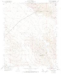
Sunshine Peak dominates this arid landscape within San Bernardino County, where volcanic activity and military operations intersect. Vast fields of Lava characterize the northern and southern reaches of the quadrangle, with the prominent Pisgah Crater situated in the northeast. The mid-century era shown here marks a transition into specialized desert land use, as indicated by the extensive Marine Corps Training Center and the demarcated Naval Reservation Boundary.
Find a feature on this map
14 named features on this map. Tap any name to fly to it.
Don’t see what you’re looking for? This feature index may not catch every label — zoom into the map to look around manually.
Map Details
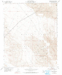
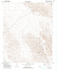
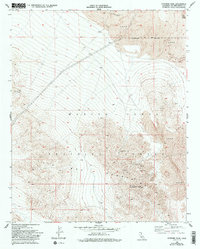
Editions of this 1955 Sunshine Peak Map
5 editions found
Other maps of this area

1953 · San Bernardino
USGS Topo · 1:250,000

1954 · Galway Lake
USGS Topo · 1:24,000

1955 · Lavic SE
USGS Topo · 1:24,000

1955 · Silver Bell Mine
USGS Topo · 1:24,000

1955 · Lavic Lake
USGS Topo · 1:24,000

1955 · Newberry
USGS Topo · 1:62,500

1955 · Lavic
USGS Topo · 1:62,500

1955 · Cady Mountains
USGS Topo · 1:62,500

1955 · Rodman Mountains
USGS Topo · 1:62,500

1956 · San Bernardino
USGS Topo · 1:250,000