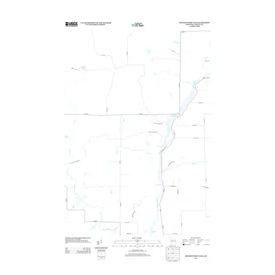
2013 Map of Grandfather Falls
USGS Topo · Published 2013About this map
The Wisconsin River carves a dominant path through this portion of Lincoln County, defined by its hydro-electric infrastructure and natural whitewater features. The Grandfather Flowage 2295 serves as a significant reservoir, leading into the drop at Grandfather Falls. This stretch of water is marked by traditional river navigation points such as Posey Rapids and Bill Cross Rapids, which once challenged rivermen and now define the river's character.
Find a feature on this map
38 named features on this map. Tap any name to fly to it.
Don’t see what you’re looking for? This feature index may not catch every label — zoom into the map to look around manually.
Map Details
Editions of this 2013 Grandfather Falls Map
This is the sole edition of this map. No revisions or reprints were ever made.
Other maps of this area

1899 · Wausau
USGS Topo · 1:125,000

1902 · Wausau
USGS Topo · 1:125,000

1902 · Marathon
USGS Topo · 1:125,000

1950 · Tomahawk
USGS Topo · 1:48,000

1950 · Spirit Falls
USGS Topo · 1:48,000

1951 · Merrill
USGS Topo · 1:48,000

1951 · Hamburg
USGS Topo · 1:48,000

1952 · Spirit Falls
USGS Topo · 1:48,000

1952 · Tomahawk
USGS Topo · 1:48,000

1954 · Iron Mountain
USGS Topo · 1:250,000