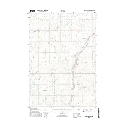
2015 Map of Grandfather Falls
USGS Topo · Published 2015About this map
The Wisconsin River carves a dominant path through this Lincoln County landscape, feeding into the Grandfather Flowage 2295. This corridor is characterized by a dense network of tributaries including New Wood River, Averill Cr, and Kelly Cr, reflecting a region defined by its hydrography and forest-related infrastructure. The presence of State Hwy 107 following the river's edge highlights the historical importance of the waterway for transportation and power.
Find a feature on this map
42 named features on this map. Tap any name to fly to it.
Don’t see what you’re looking for? This feature index may not catch every label — zoom into the map to look around manually.
Map Details
Editions of this 2015 Grandfather Falls Map
This is the sole edition of this map. No revisions or reprints were ever made.
Other maps of this area

1899 · Wausau
USGS Topo · 1:125,000

1902 · Wausau
USGS Topo · 1:125,000

1902 · Marathon
USGS Topo · 1:125,000

1950 · Tomahawk
USGS Topo · 1:48,000

1950 · Spirit Falls
USGS Topo · 1:48,000

1951 · Merrill
USGS Topo · 1:48,000

1951 · Hamburg
USGS Topo · 1:48,000

1952 · Spirit Falls
USGS Topo · 1:48,000

1952 · Tomahawk
USGS Topo · 1:48,000

1954 · Iron Mountain
USGS Topo · 1:250,000