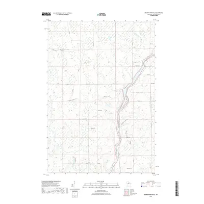
2018 Map of Grandfather Falls
USGS Topo · Published 2018About this map
The Wisconsin River cuts a deep, winding path through this portion of Lincoln County, defined by its complex white-water features including Bill Cross Rapids and Rosey Rapids. This reach of the river is a focal point for modern recreation and conservation, traced by the long-distance Ice Age National Scenic Trail, which follows the eastern bluff lines and crosses several tributaries like Ripley Cr. The surrounding landscape is a mosaic of wetlands and ridges, rising toward the prominent Ninemile Hill in the south.
Find a feature on this map
37 named features on this map. Tap any name to fly to it.
Don’t see what you’re looking for? This feature index may not catch every label — zoom into the map to look around manually.
Map Details
Editions of this 2018 Grandfather Falls Map
This is the sole edition of this map. No revisions or reprints were ever made.
Other maps of this area

1899 · Wausau
USGS Topo · 1:125,000

1902 · Wausau
USGS Topo · 1:125,000

1902 · Marathon
USGS Topo · 1:125,000

1950 · Tomahawk
USGS Topo · 1:48,000

1950 · Spirit Falls
USGS Topo · 1:48,000

1951 · Merrill
USGS Topo · 1:48,000

1951 · Hamburg
USGS Topo · 1:48,000

1952 · Spirit Falls
USGS Topo · 1:48,000

1952 · Tomahawk
USGS Topo · 1:48,000

1954 · Iron Mountain
USGS Topo · 1:250,000