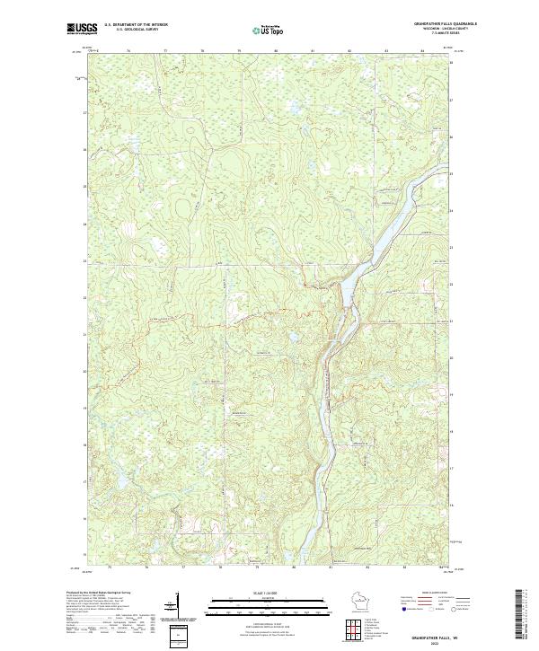
2022 Map of Grandfather Falls
USGS Topo · Published 2022About this map
The Wisconsin River carves a central path through this section of Lincoln County, defined by the controlled waters of the Grandfather Flowage and the natural turbulence of the Bill Cross Rapids. The landscape is dominated by a complex network of waterways, including the New Wood River and several tributaries such as Averill Cr and Kelly Cr. This modern survey illustrates the conservation and recreation focus of the region, prominently featuring the winding path of the Ice Age National Scenic Trl as it traverses the glacial topography near Ninemile Hill. The road network, including Co Rd E and numerous named local routes like Tug Lake Rd and Faufau Ave, suggests a transition from managed forest lands to rural residential pockets, with Morrison Lake serving as a significant northern landmark.
Find a feature on this map
34 named features on this map. Tap any name to fly to it.
Don’t see what you’re looking for? This feature index may not catch every label — zoom into the map to look around manually.
Map Details
Editions of this 2022 Grandfather Falls Map
This is the sole edition of this map. No revisions or reprints were ever made.
Other maps of this area

1899 · Wausau
USGS Topo · 1:125,000

1902 · Wausau
USGS Topo · 1:125,000

1902 · Marathon
USGS Topo · 1:125,000

1950 · Tomahawk
USGS Topo · 1:48,000

1950 · Spirit Falls
USGS Topo · 1:48,000

1951 · Merrill
USGS Topo · 1:48,000

1951 · Hamburg
USGS Topo · 1:48,000

1952 · Spirit Falls
USGS Topo · 1:48,000

1952 · Tomahawk
USGS Topo · 1:48,000

1954 · Iron Mountain
USGS Topo · 1:250,000